$5,130.00
0.11 acres | Residential Zoning
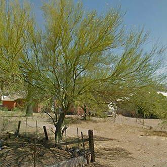
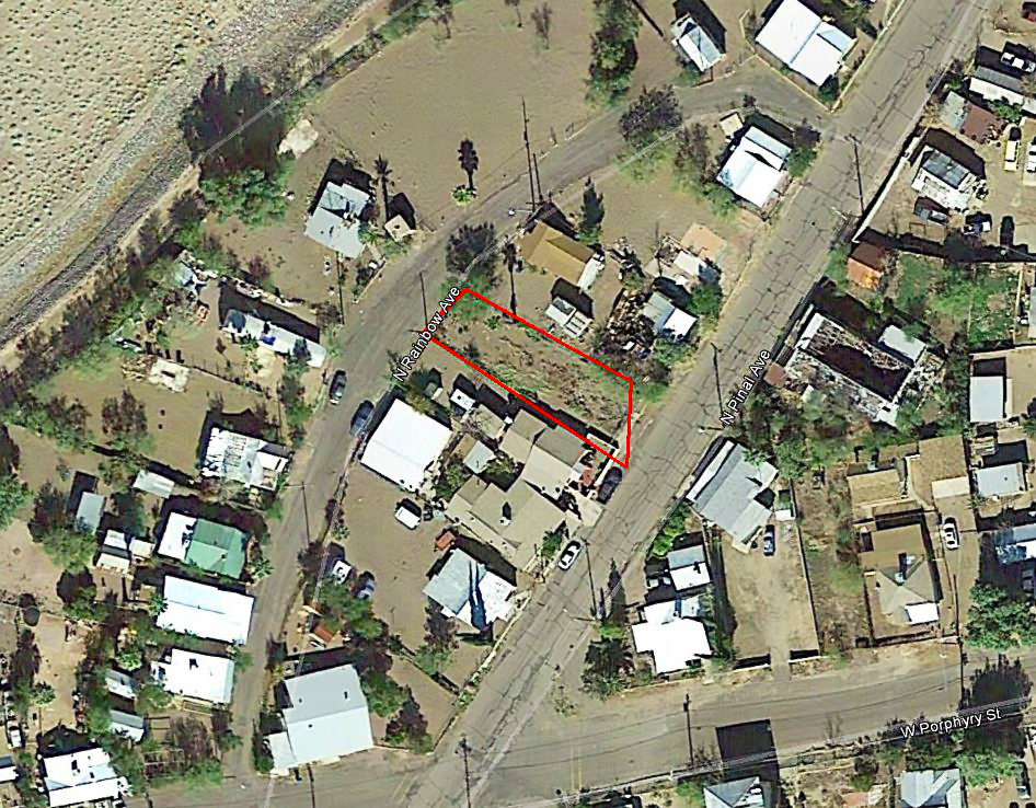
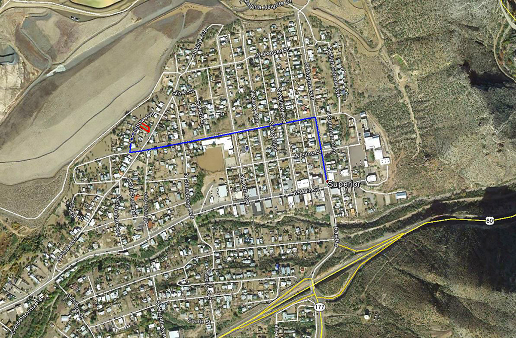
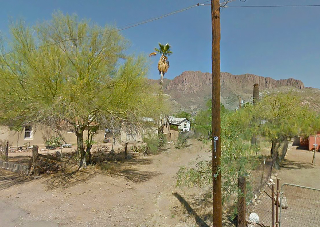
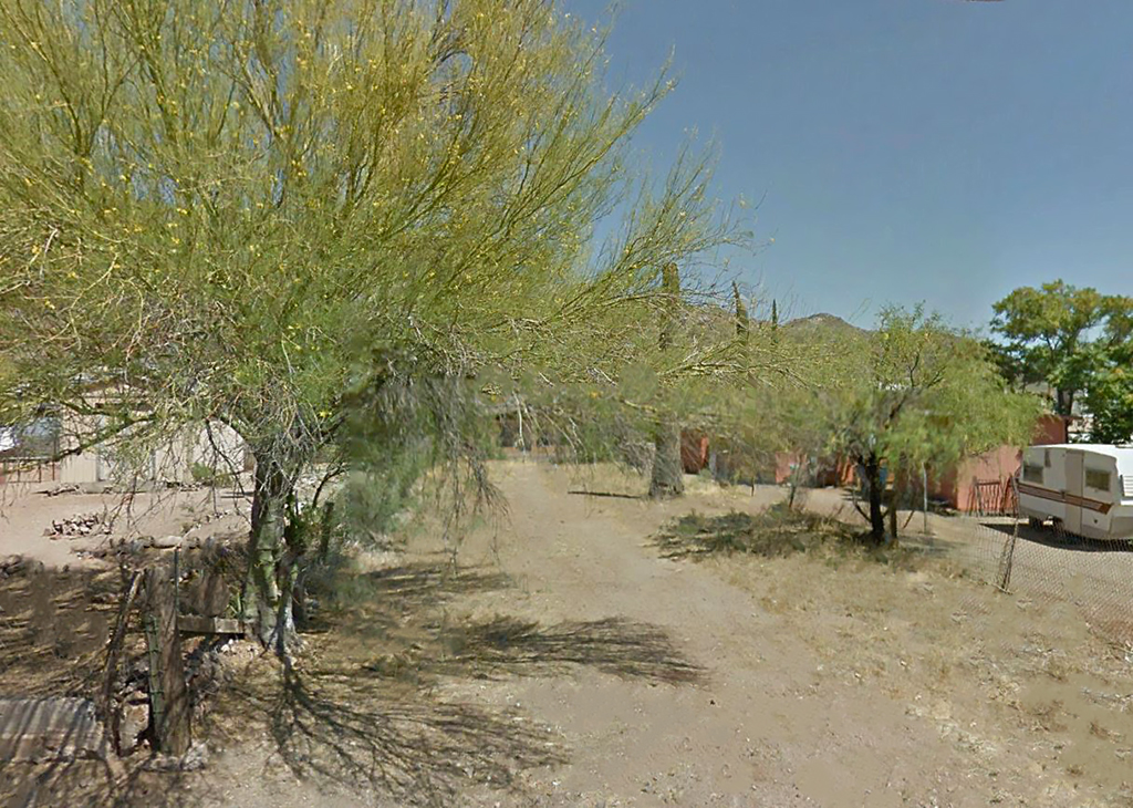
This property is located in the town of Superior, on N. Pinal Avenue. There are homes all around this property, power at the property line, and gorgeous mountain views on 3 sides. What makes Superior so unique is its geographic location. The Tonto National Forest surrounds the town, and you can travel a very short distance and visit the desert, the mountains or the grass-covered plateau. This property is a little over an hour East of Phoenix.
Land Specifics Foreclosed
| Property Number | 7781 |
|---|---|
| Size | 0.11 acres |
| Dimensions | 45' x 146' x 37.5' x 118' |
| Road Access | Paved Road |
| Slope Description | Mostly Flat |
| Zoning | Residential |
| Zoning Code | CR-4 (Multiple Residence Zone) |
| Zoning Definition |
CR-4 (Multiple Residence Zone): One family dwelling of conventional construction, duplexes and/or multiple dwellings for not more than four families allowed. Public parks, public/parochial schools, and churches allowed. Travel trailer/RV allowed for not more than 180 days during construction of a residence on the same premises with county approval. Buildable area not to exceed 40% of lot area. |
| On Property Usage/Potential |
|
| Nearby Usage |
|
Location
| County | Pinal |
|---|---|
| State | Arizona |
| Other Maps |
|---|
Additional Information
| Assessor Parcel Number (APN) | 106 09 049 |
|---|---|
| Estimated Annual Taxes | $63.18 |
| Legal Description |
Block 1 Parcel 19. That part of the Southeast Quarter of the Southwest Quarter of Section 35 Township 1 South, Range 12 East of the Gila and Salt River Base and Meridian, Pinal County, Arizona, described as follows: Commencing at the south quarter corner of the above mentioned Section 25, THENCE North 03 degrees 31 minutes 28 seconds West for a distance of 1023.99 feet to a point on the west line of Addition to Superior Townsite and northeast line of Pinal Avenue (Assuming the south line of said Section 35 from the south quarter corner to the southwest corner has a bearing of North 89 degrees 52 minutes 26 seconds West), said point being the point of beginning of the land to be described: THENCE North 56 degrees 19 minutes 02 seconds West for a distance of 142.65 feet to a point on the southeast line of Rainbow Street. THENCE North 44 degrees 44 minutes 56 seconds East for a distance of 34.15 feet to a point on the southeast line of Rainbow Street. THENCE South 61 degrees 14 minutes 05 seconds East for a distance of 112.56 feet to a point on the west line of Addition to Superior Townsite. THENCE South 04 degrees 39 minutes 14 seconds West for a distance of 49.37 feet along the west line of Addition to Superior Townsite to the point of beginning. |
| Monthly HOA Dues | $0 |
| HOA | |
| HOA Dues | $0 |
| HOA Info |
This property has been sold.
This property is no longer available.
Use My LandCentral to be notified when a similar property is available in the future.
Or search available properties now:
Search Properties
