
$6,289.55
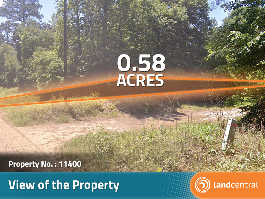
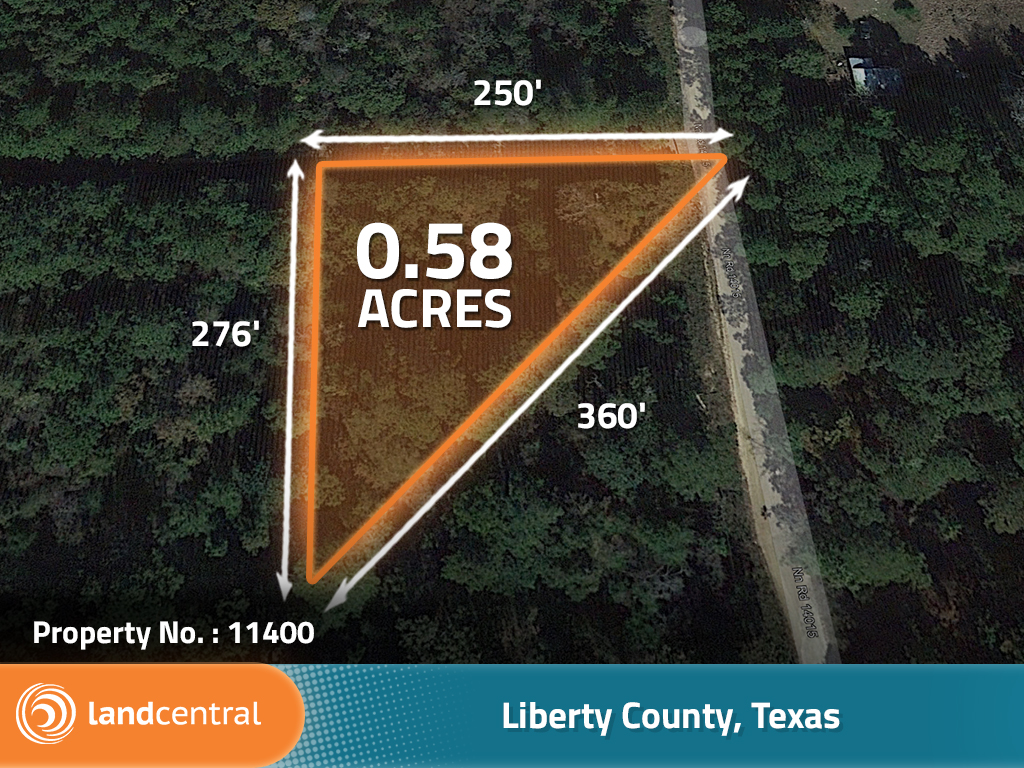
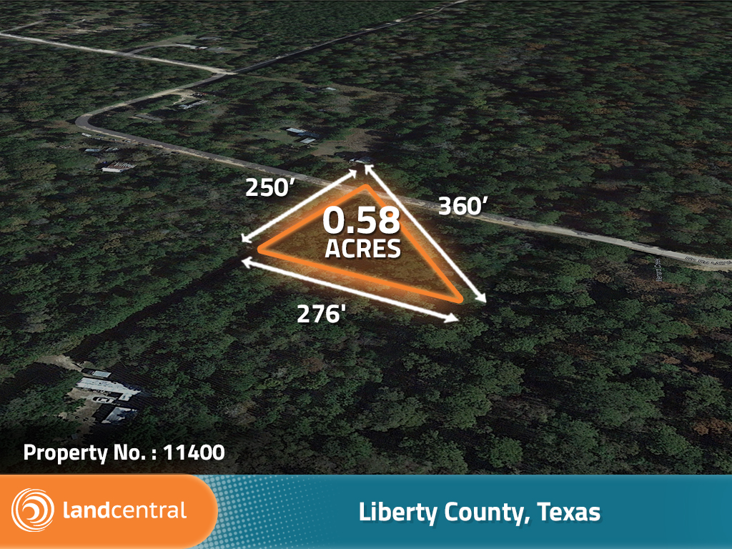
0.58 acres | Zoning
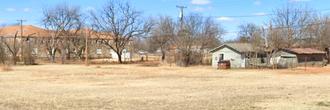
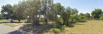
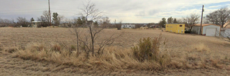
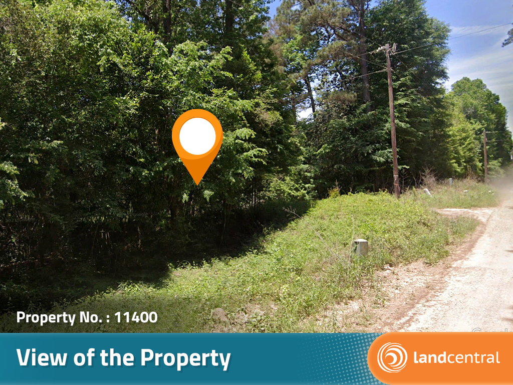
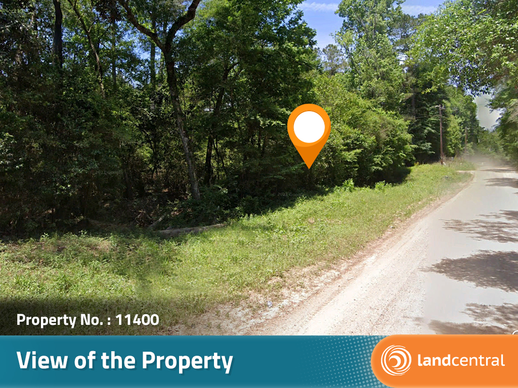
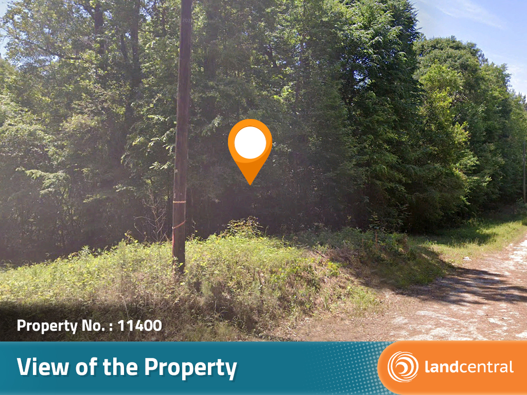
Just off the dirt road of Outlaw Bend you will find this triangular shaped tree covered property. The property has no current county zoning regulations as Liberty County does not zone for properties that are not located within major city limits. It’s always a good idea to call and check with the county planning department and just run by what you want to do to make sure it will not be breaking any other ordinances that are not zoning related. There are a couple of mobile homes that next this property that will give you close-by neighbors though because of them there is already power running right next to the property. A well and septic system will need to be placed if a home being placed is the end goal of this property. At pricing this low this lot will not last long so be sure to add it to your collection today!
Land Specifics Foreclosed
| Property Number | 11400 |
|---|---|
| Size | 0.58 acres |
| Dimensions | 250' x 360' x 276' |
| Road Access | Gravel Road |
| Slope Description | Rolling |
| Zoning | |
| Zoning Code | No Zoning |
| Zoning Definition |
Liberty county does not zone for properties outside of major cities. |
| On Property Usage/Potential |
|
| Nearby Usage |
|
Location
| County | Liberty |
|---|---|
| State | Texas |
| Other Maps |
|---|
Additional Information
| Assessor Parcel Number (APN) | 15364 |
|---|---|
| Estimated Annual Taxes | $21.11 |
| Legal Description |
Beginning at the southeast corner of the lands of grantor, said corner being at the intersection of the center of Menard Creek with the westerly right-of-way of Bo Road as shown on the Plat of Out-law Bend Section 1 attached to the Deed recorded in Book 496, page 78 in the Deed Records of Hardin County, Texas, said intersection being Westerly 3,354.00 feet, more or less, along the south line of the R.A. Irion Survey, A-52, and North 1,792.00 feet, more or less, from the southeast corner of said Irion Survey, said Point of Beginning having Texas Central Zone Grid Co-ordinates of N 333, 785.92 and E 3,766,904.57: Thence with the center of Menard Creek Downstream Southwesterly 488.00 feet, more or less; Thence with the dividing line between the lands of grantor and the lands, now or formerly, of Jerome J. Hebert North 03°00’30” West 388.04 feet, more or less; Thence crossing the lands of grantor with the Boundary Line of Big Thicket National Preserve North 44°52’56” East 309.71 feet, more or less; Thence with the southerly right-of-way of Potts Road and the westerly right-of-way of Bo Road as follows: North 86°34’57” East 0.94 foot, more or less; South 03°55’44” East 307.57 feet, more or less; and South 14°42’54” East 89.24 feet, more or less, to the Point of Beginning. All bearings are based on Grid North. Containing 1.99 acres of land, more or less. |
| Monthly HOA Dues | $0 |
| HOA | |
| HOA Dues | $0 |
| HOA Info |
This property has been sold.
This property is no longer available.
Use My LandCentral to be notified when a similar property is available in the future.
Or search available properties now:
Search Properties