$2,097.00
0.25 acres | Residential Zoning
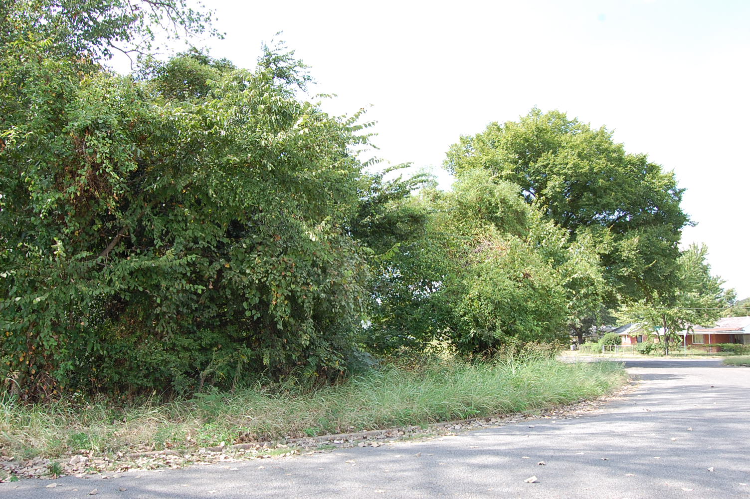
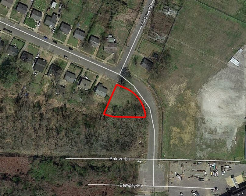
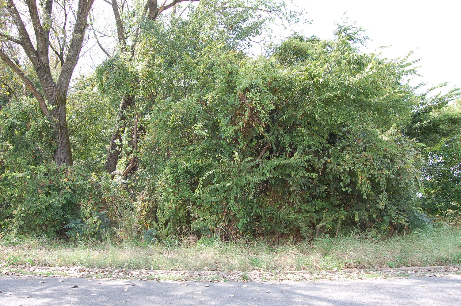
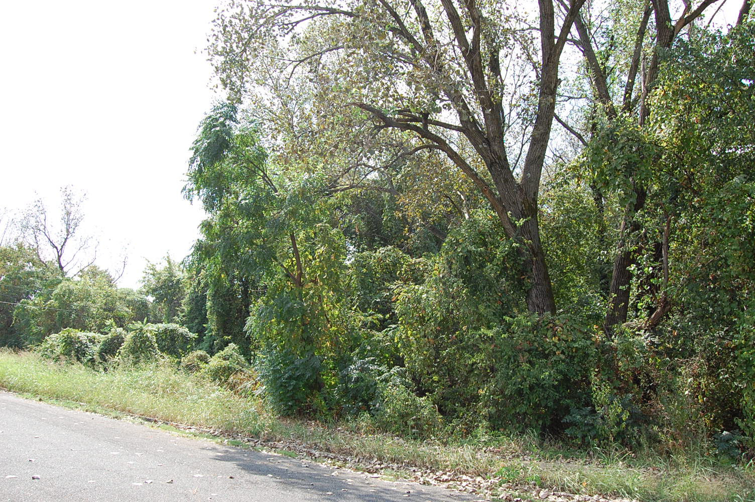
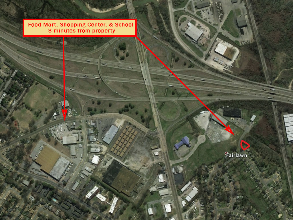
Welcome to the home of blues, soul, and rock-n-roll. This quarter acre parcel is 10,890 sq. ft. of pure southern land. A corner lot in a beautiful neighborhood. The property is mostly flat with power available and conveniently located near the HWY. Found within the cities of Oakville and Memphis. From civil war sites to legendary landmarks, you’ll find it all with this amazing deal!
Land Specifics
| Property Number | 10683 |
|---|---|
| Size | 0.25 acres |
| Dimensions | 158.52' x 114.3' x 35.03' x 105.16' |
| Road Access | Paved Road |
| Slope Description | Mostly Flat |
| Zoning | Residential |
| Zoning Code | R-6 (Residential) |
| Zoning Definition |
R-6 (Residential): Permitted uses include single-family detached dwelling, manufactured modular home, supportive living facility, places of worship. |
| On Property Usage/Potential |
|
| Nearby Usage |
|
Location
| County | Shelby |
|---|---|
| State | Tennessee |
| Other Maps |
|---|
Additional Information
| Assessor Parcel Number (APN) | 059031 00056 |
|---|---|
| Estimated Annual Taxes | $21.26 |
| Legal Description |
Part of the Jack J. Oliver part of the Tally and Clayton 155 acre tract lying on the south side of Southwall Street east of Lot 401, Section C, Fairlawn Subdivision of record in Plat Book 17, Page 34 and north and west of the property described in warranty deed of record in Book 3297, Page 49, in the said Register's Office; being more particularly described as follows: Beginning at a point in the southwesterly side line of Southwall Street at the northeast corner of Lot 401 of Section C, said Fairlawn Subdivision, said beginning point being distant southeasterly along the said southwest line of Southwall Street, a distance of 615 feet from the intersection of the said southwest line of Southwall Street, as projected north westwardly with the southeasterly side line of Southwall Cove, as projected north eastwardly; thence southeastwardly along the said south line of Southwall Street 38.27 feet to a point; said point being the beginning for a curve to the right of radius 119.21 feet; thence continuing southeastwardly along the said side line and along said curve 114.71 feet to a point; thence southwestwardly 112.26 feet to a point; thence continuing southwardly by an interior angle of 165 degrees 34 minutes, a distance of 35.03 feet to the southeast corner of Lot 401 of Section C, Fairlawn Subdivision; thence northeastwardly along the line of said 1 ot 401 by an interior angle of 79 degrees, 20 minutes, a distance of 105.16 feet to the point of beginning and forming an angle of 90 degrees with said southwestwardly side line of Southwall Street, being the same property conveyed to Union Planters National Bank, Executor of the Estate of Mary S. Garrett on October 30, 1989, and recorded as instrument BH 8161 in the Register's Office of Shelby County, Tennessee. Being the same property as described in Instrument No. BT 6757. The above description is the same as found in prior deed of record as a boundary line survey was not done at the time of this conveyance. PARCEL ID: 05903100000560 |
| Monthly HOA Dues | $0 |
| HOA | |
| HOA Dues | $0 |
| HOA Info |
This property has been sold.
This property is no longer available.
Use My LandCentral to be notified when a similar property is available in the future.
Or search available properties now:
Search Properties