$5,361.87
0.66 acres | Agricultural Zoning
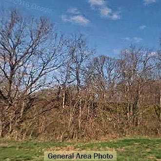
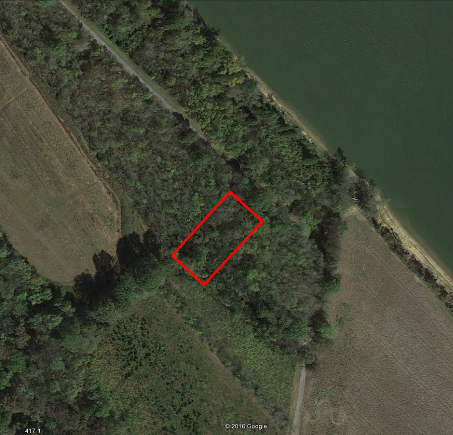
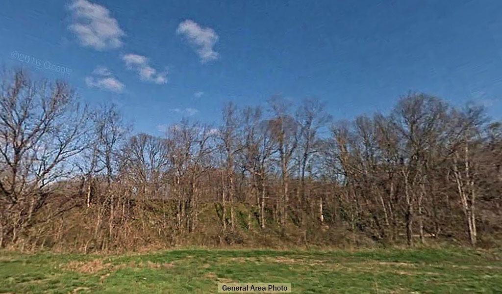
This property on C B Road is 200 feet from the banks of the Cumberland River. It is a pretty property with lots of greenery. It is in Flood Zone AE which means a 1% chance of a 100 year flood. The Property had a 500 year flood in 2010. So while a flood is unlikely, we do recommend flood insurance for this property, and it might also need some clean-up. You are less than half an hour from Clarksville and less than 90 minutes from Nashville.
Land Specifics Foreclosed
| Property Number | 7719 |
|---|---|
| Size | 0.66 acres |
| Dimensions | 120' x 244 |
| Road Access | Dirt Road |
| Slope Description | Sloped |
| Zoning | Agricultural |
| Zoning Code | AG (Agricultural) |
| Zoning Definition |
AG (Agricultural): This is zoned primarily for agricultural uses, which include harvesting and farming. A single family dwelling permitted in conjunction with harvesting. |
| On Property Usage/Potential |
|
| Nearby Usage |
|
Location
| County | Montgomery |
|---|---|
| State | Tennessee |
| Other Maps |
|---|
Additional Information
| Assessor Parcel Number (APN) | 124 02100 000 |
|---|---|
| Estimated Annual Taxes | $42.00 |
| Legal Description |
Beginning at a pin in Lusk, et al, south property line, said point being 485.96 feet North 52 degrees 50’ West from a stone marker in Baxter’s West Boundary line; thence North 36 degrees 58’ West 61.3 feet to a point; thence North 41 degrees 09’ East 237 feet to a point in the south right of way line of road; thence South 48 deg. 51’ east 120 feet to a point in said South right of way line; thence south 41 degrees 09’ West 244 feet to a point; thence north 52 degrees 50’ West 60.1 feet to the point of beginning, in Montgomery County, State of Tennessee. |
| Monthly HOA Dues | $0 |
| HOA | |
| HOA Dues | $0 |
| HOA Info |
This property has been sold.
This property is no longer available.
Use My LandCentral to be notified when a similar property is available in the future.
Or search available properties now:
Search Properties