$23,638.28
1.03 acres | Residential Zoning
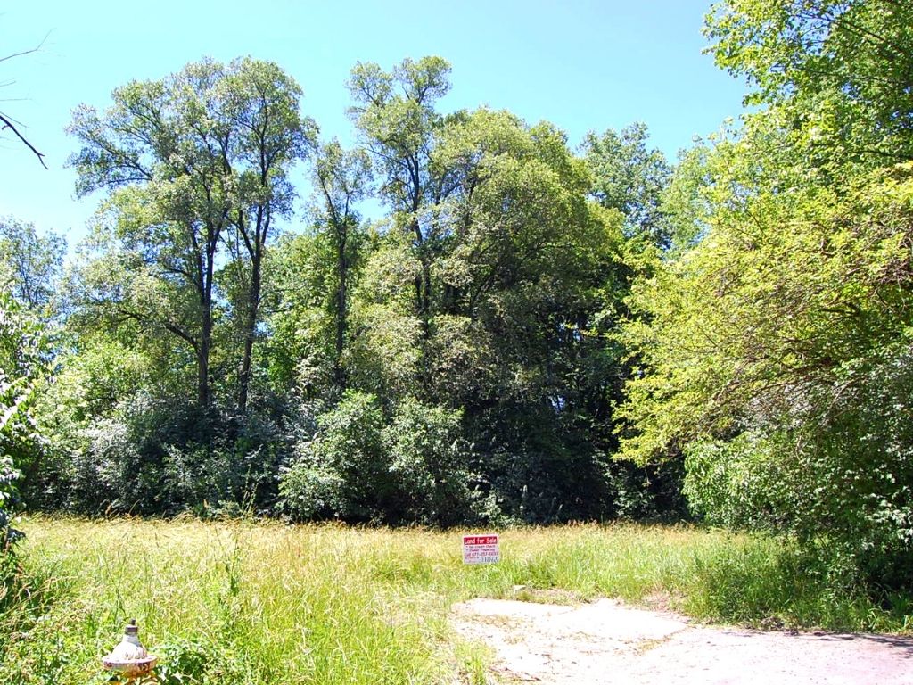
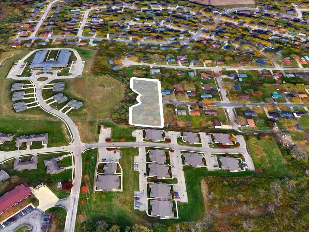
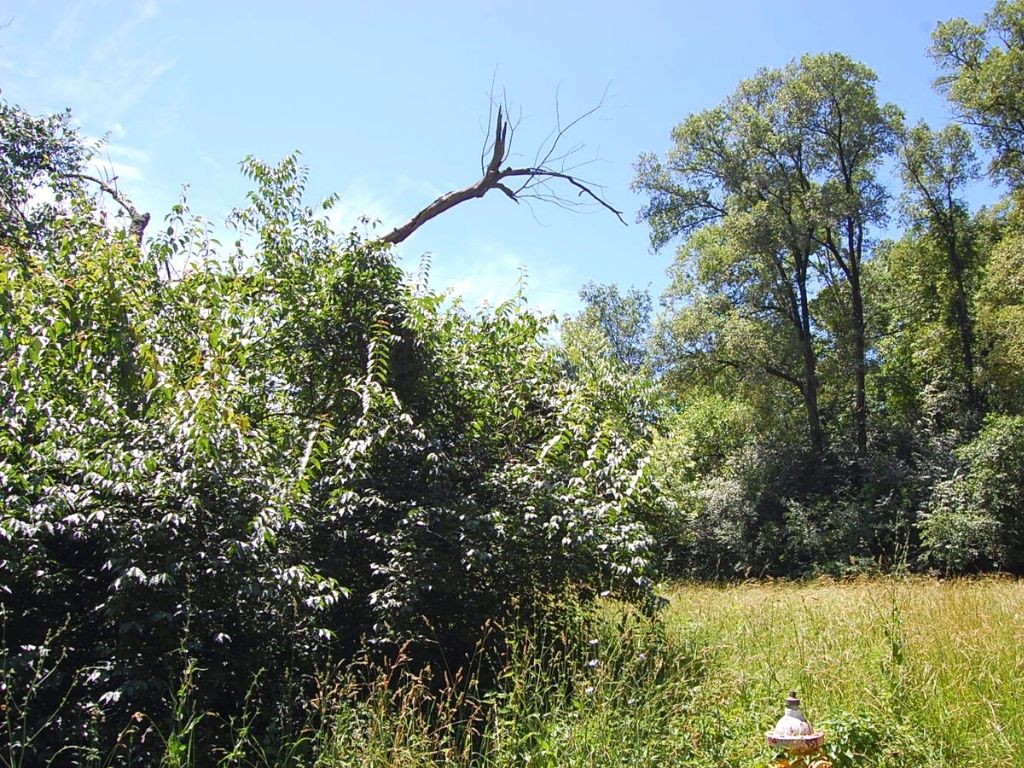
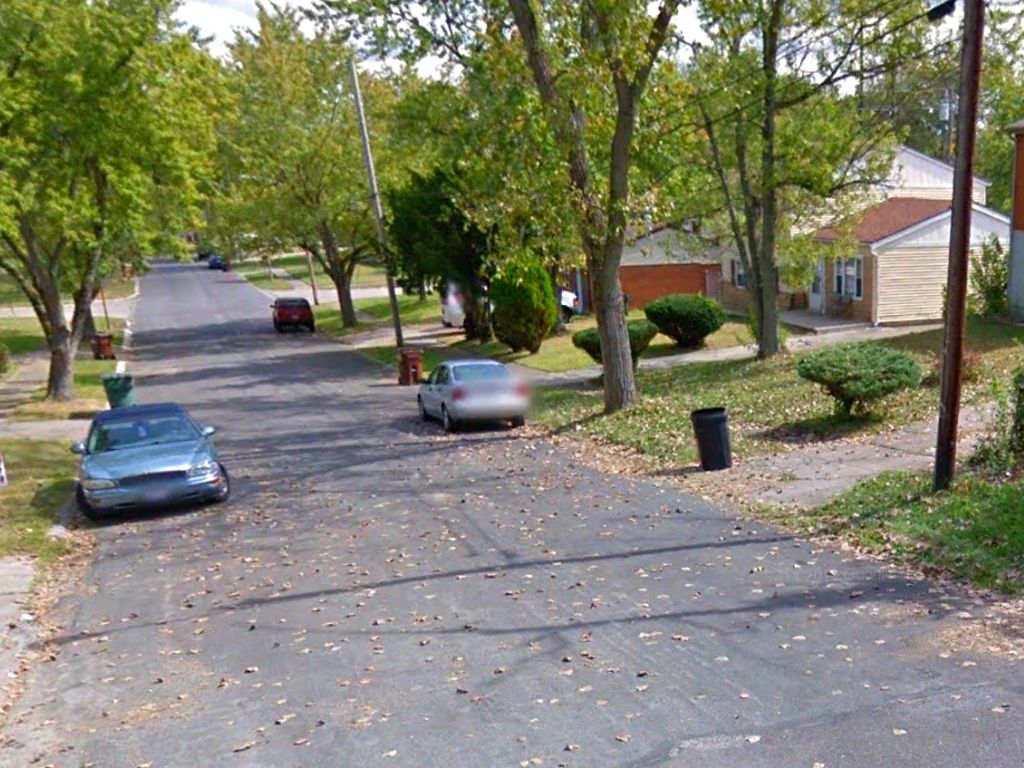
Big city amenities meet Midwest charm! This spacious 1.03 acre parcel is situated in the end of a cul-de-sac just 5 miles outside of Dayton. Covered with lush trees and a paved road leading in, this rolling lot is in a well-established area with utilities available. You will feel right at home in this neighborhood of quaint, well-kept residences. Whether you’re looking for culture, events, or outdoor recreation, you’ll find it here. Don’t wait!
Land Specifics Foreclosed
| Property Number | 11065 |
|---|---|
| Size | 1.03 acres |
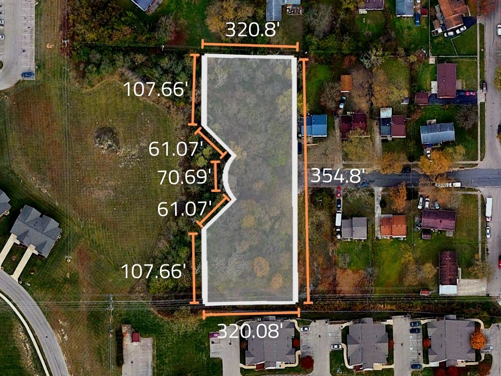
| Dimensions | 320.8' x 354.8' x 320.08' x 107.66' x 61.07' x 70.69' x 61.07' x 107.66' |
| Road Access | Paved Road |
| Slope Description | Rolling |
| Zoning | Residential |
| Zoning Code | R (Residential) |
| Zoning Definition |
R (Residential): Single or multi-family homes are allowed per county regulations. This zone is intended for only residential uses only. Any building does require a building permit first that must pass a set of standards and regulations prior to building. |
| On Property Usage/Potential |
|
| Nearby Usage |
|
Location
| County | Montgomery |
|---|---|
| State | Ohio |
| Other Maps |
|---|
Additional Information
| Assessor Parcel Number (APN) | H33 02302 0067 |
|---|---|
| Estimated Annual Taxes | $314.07 |
| Legal Description |
Situate in the State of Ohio, County of Montgomery, City of Trotwood in Section 26, Town 4 North Range 5 East and being more particularly described as follows: Beginning at the Southwest corner of Lot Numbered One Thousand Fifty-Five (1055) of Town View Plat Number 6, Section 1, as recorded in Plat Book ZZ, Page 56 of the Plat Records of Montgomery County, Ohio. Said point of beginning also being in the North line of Seda M. Crawford land as recorded in Book 1212, Page 564 of the Deed Records of Montgomery County, Ohio; thence North 86 deg 56'20" West with the North line of said Seda M. Crawford land a distance of 135.00 feet to a point; Thence North 3 deg 00'10" East a distance of 107.66 feet to a point; thence North 48 deg 00'10" East a distance of 61.07 feet to a point; thence on a curve to the right of an arc distance 70.69 feet, the radius of said arc being 45.00 feet; thence North 41 deg 59'50" West a distance of 61.07 feet to a point; thence North 3 deg. 00'10" East a distance of 107.00 feet to a point in the South line of Town View Plat Number 4, Section 3, as recorded in Plat Book UU Page 80 of the Plat Records of Montgomery County, Ohio. Thence 86 deg. 59'50" East with the South line of said Town View Plat nUmber 4, Section 3, a distance of 135.00 feet to the Northwest corner of Lot Numbered One Thoustand Fifty-Four (1054) of Town View Plat Number 6, Section 1; thence South 3 deg. 00'10" West witht he West line of said Town View Plat Numbered 6, Section 1 a distance of 364.80 feet to the point of beginning, containing 1.038 acres, more or less, subject however to all legal easements and restrictions of record. |
| Monthly HOA Dues | $0 |
| HOA | |
| HOA Dues | $0 |
| HOA Info |
This property has been sold.
This property is no longer available.
Use My LandCentral to be notified when a similar property is available in the future.
Or search available properties now:
Search Properties
