$40,409.63
10.4 acres | Residential Zoning
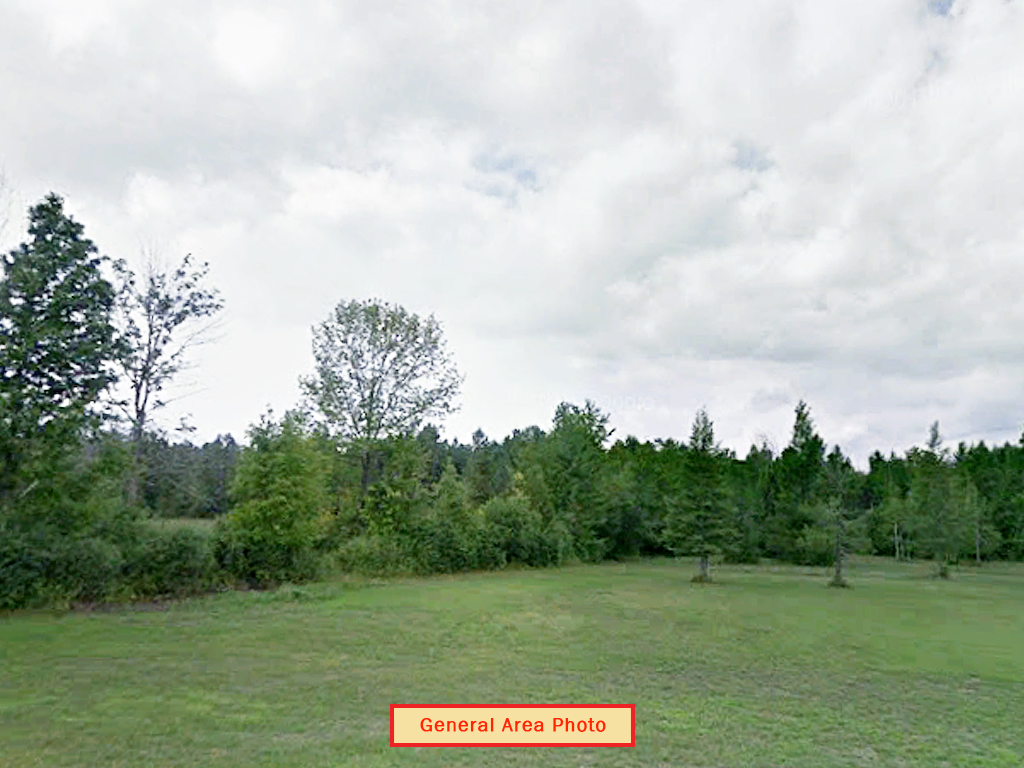
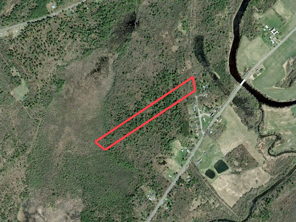
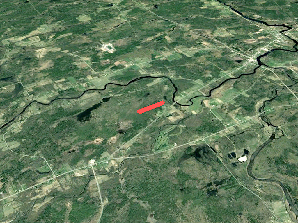
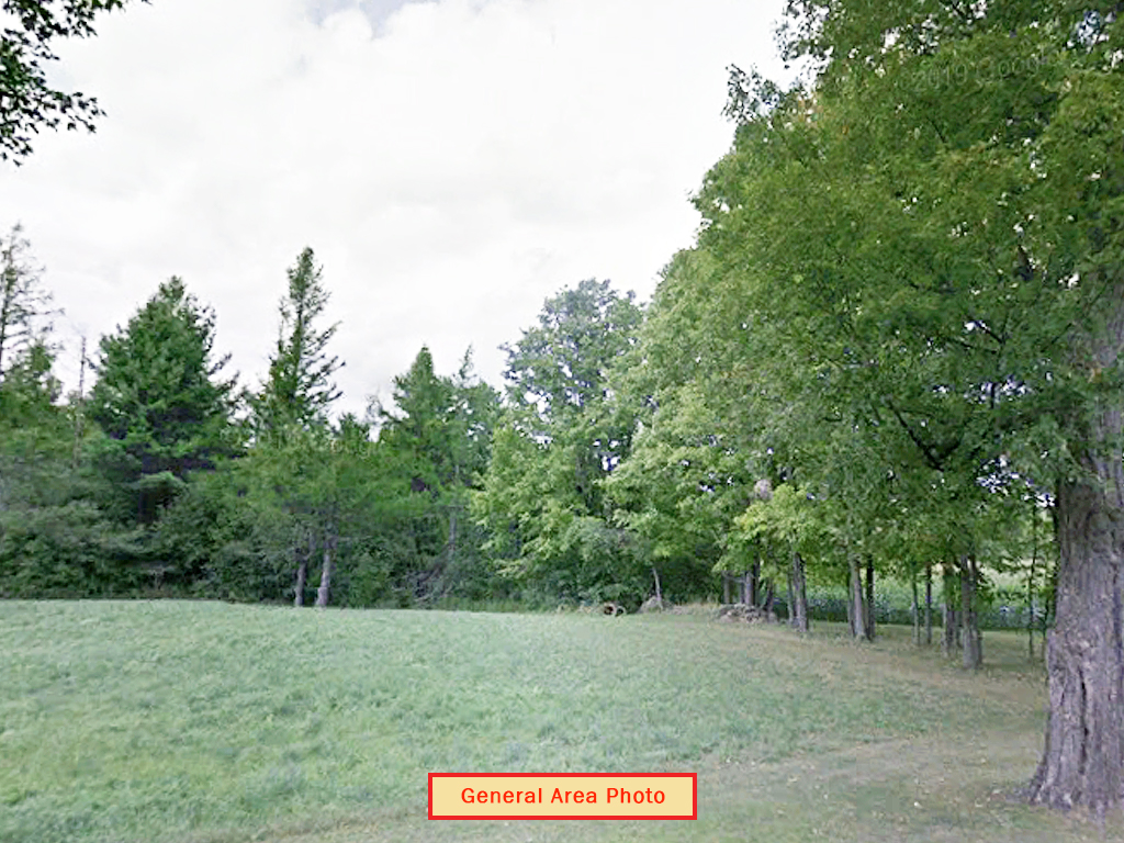
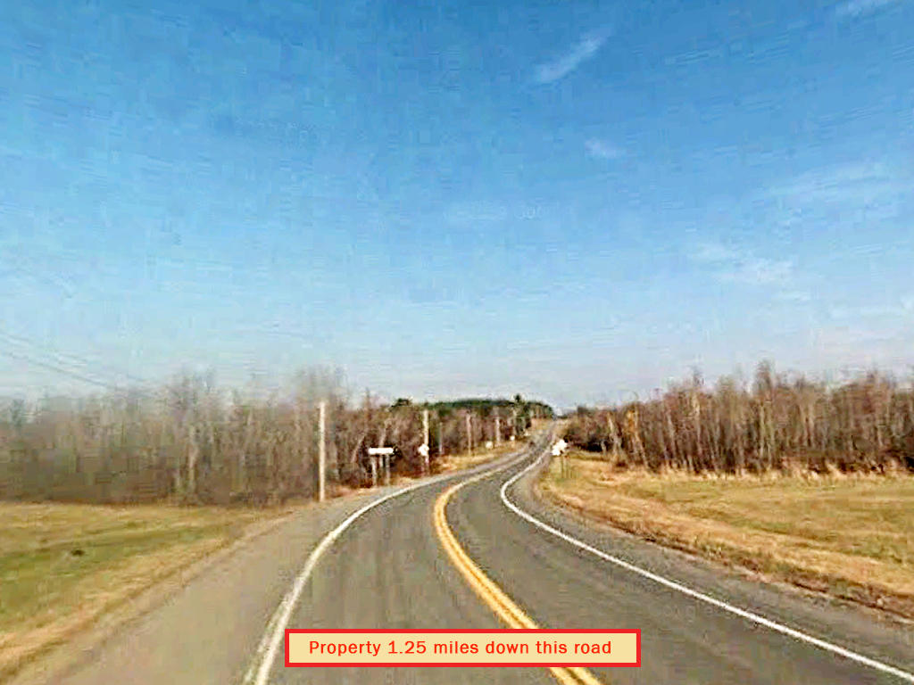
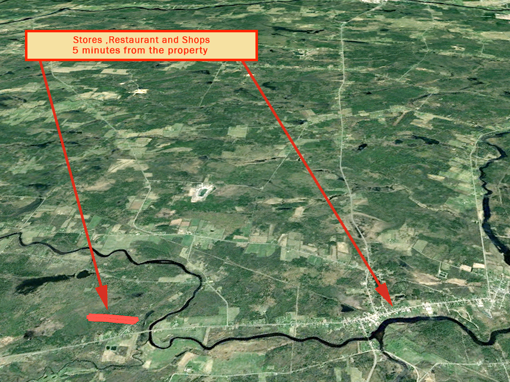
Located on the northern edge of New York is the perfect land investment. A sprawling 10.4 acres of rural, tree covered land. This rolling lot is uniquely shaped with neighbors nearby, but with 10 acres, there’s still plenty of peace and quiet. Located just 3 miles outside of Brasher and 2 miles from Buckton State Forest. There is a dirt road leading in and power available nearby. Whether you’re looking to build your dream home or build out your portfolio, this land is the ideal investment. Act now!
Land Specifics Foreclosed
| Property Number | 11581 |
|---|---|
| Size | 10.4 acres |
| Dimensions | 250.30' x 1946' x 226.58' x 2108.12' |
| Road Access | Dirt Road |
| Slope Description | Rolling |
| Zoning | Residential |
| Zoning Code | RU (Rural District) |
| Zoning Definition |
RU (Rural District): Single-family dwellings are allowed as well as farming activities that are in conjunction of residential and agricultural living. Building must meet township standards and be approved prior to building. |
| On Property Usage/Potential |
|
| Nearby Usage |
|
Location
| County | St. Lawrence |
|---|---|
| State | New York |
| Other Maps |
|---|
Additional Information
| Assessor Parcel Number (APN) | 44.002-1-4.1 |
|---|---|
| Estimated Annual Taxes | $96.53 |
| Legal Description |
ALL THAT TRACT OR PARCEL OF LAND in the Town of Stockholm, County of St. Lawrence and State of New York, described as follows: BEING a lot that lies North of State Route 11 and West of Green Meadows Rd. which may be described as follows: BEGINNING at a point in the centerline of Green Meadows Rd. 2837.0 feet southeasterly from the junction of the centerlines of Green Meadows Rd. and McCarthy Rd. as measured along the centerline of Green Meadows Rd, being also 1040.0 feet N 11 deg. 0' W from the junction of the Nroth Bounds of State Route 11 and the West Bounds of Green Meadows Rd. as measured along the said West Bounds of Green Meadows Rd.; thence 250.0 feet S 11 deg. 0' E along the centerline of Green Meadows Rd. to a point; thence deflecting to the right 67 degrees 0' 1948.0 feet S/ 56 deg 0' W to a point; thence deflecting tot he right 73 deg. 0' 240.0 feet N. 51 deg. 0' W to a point; thence deflecting to the right 107 deg. 0' 2116.0 feet N. 56 deg. 0' E to the beginning point; being 10.7 acres as surveyed by Paul Claffey, Surveyor 43396 on March 23, 1980. |
| Monthly HOA Dues | $0 |
| HOA | |
| HOA Dues | $0 |
| HOA Info |
This property has been sold.
This property is no longer available.
Use My LandCentral to be notified when a similar property is available in the future.
Or search available properties now:
Search Properties