$15,989.44
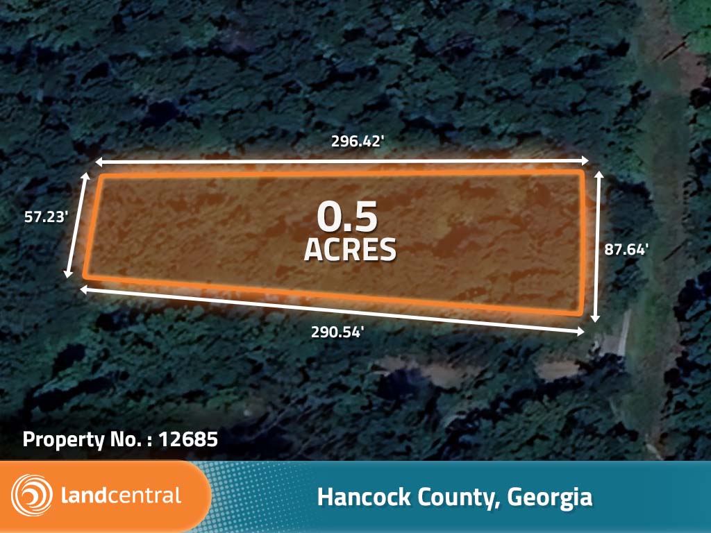
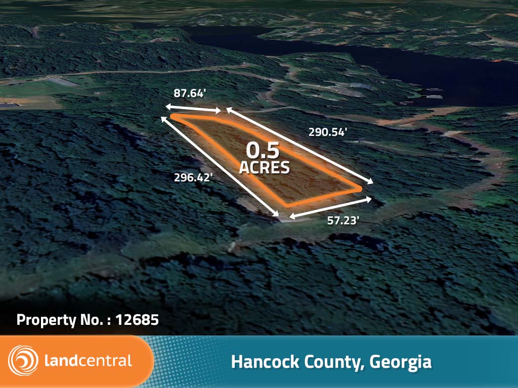
0.5 acres | Residential Zoning
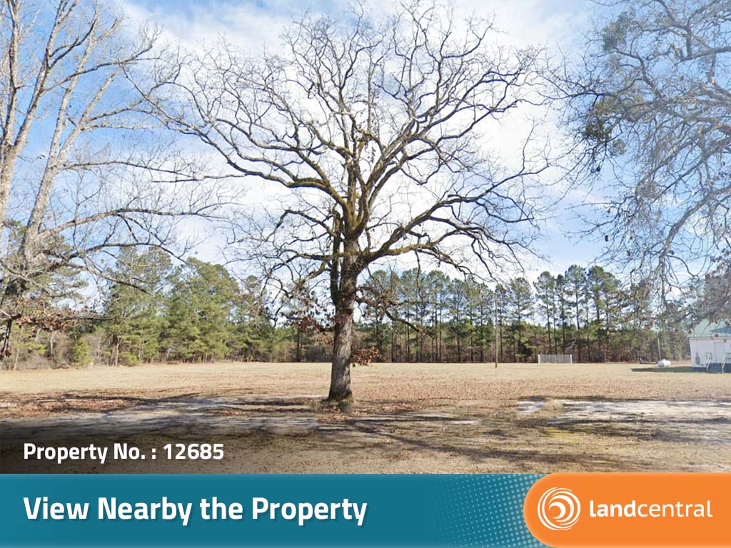
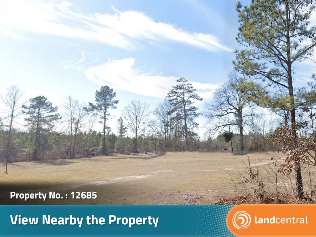
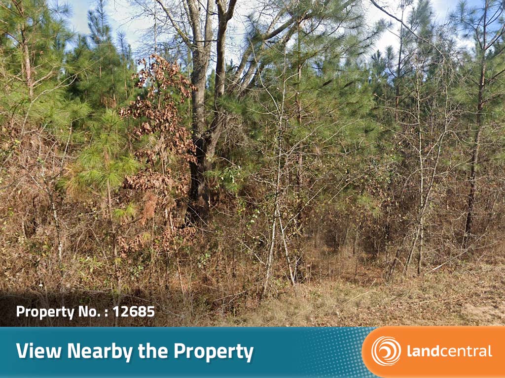
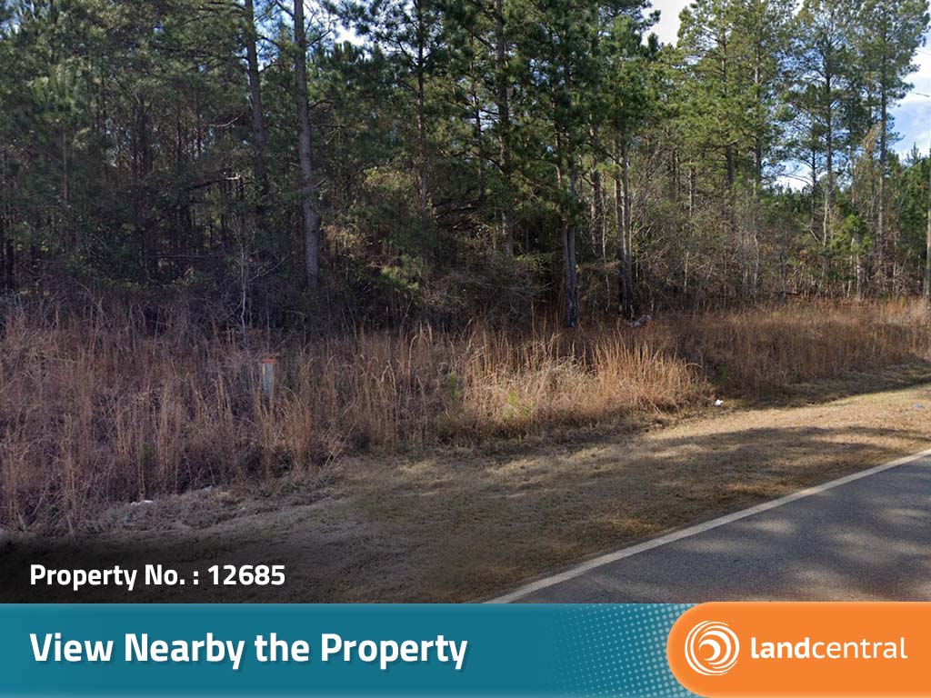
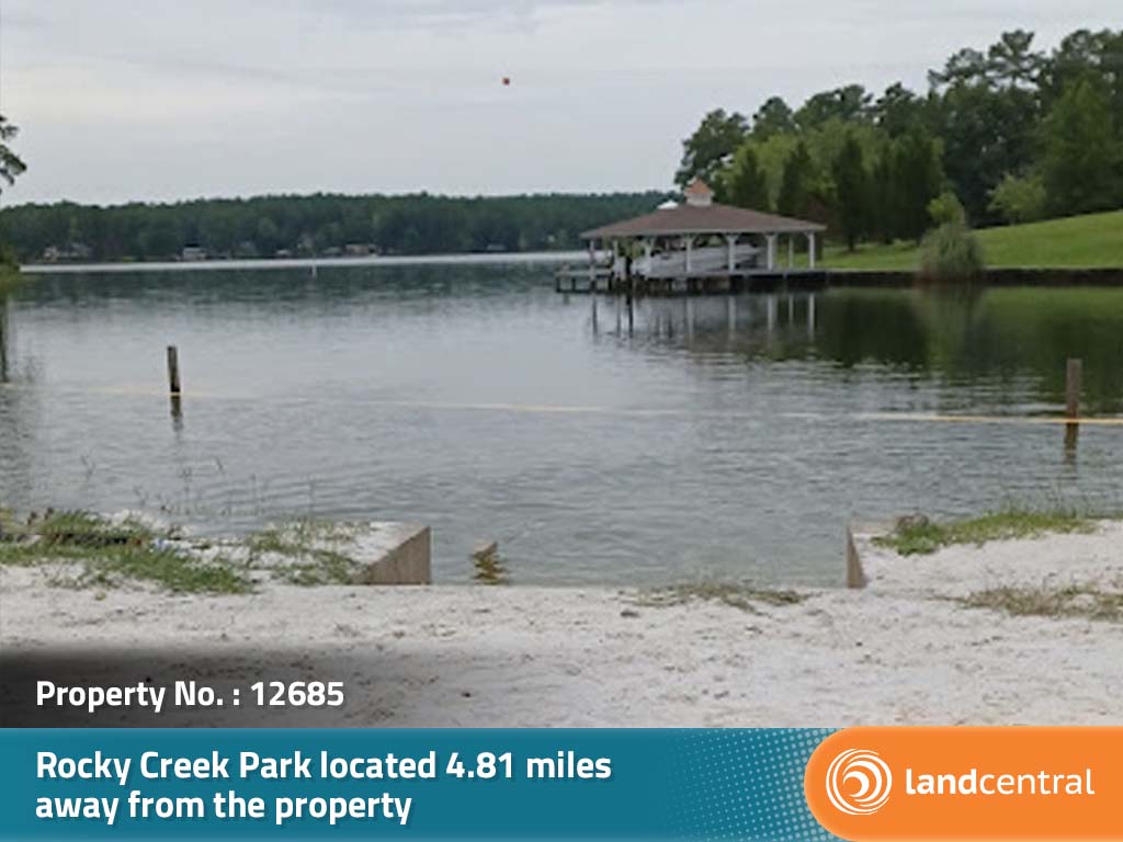
This amazing lot is in a quiet neighborhood on Lake Sinclair. While it is not sitting on the lake it is only a few properties away and has easy access to great fun. The lake is a perfect place to spend a summer day picnicking on the shore and swimming the day away. There is a launch ramp not too far away to put the boat in the water and wakeboard or water ski. When it cools off a little bit it’s still a beautiful view and has great fishing. This is a perfect opportunity to make this dreamy town a part of your everyday life.
Land Specifics Foreclosed
| Property Number | 12685 |
|---|---|
| Size | 0.5 acres |
| Dimensions | 87.64' x 296.42' x 57.23' x 290.54' |
| Road Access | Dirt Road |
| Slope Description | Rolling |
| Zoning | Residential |
| Zoning Code | R-3(Residential) |
| Zoning Definition |
R-3 (Residential):Single-Family dwellings, both site-built and manufactured home, permitted. must follow county property setbacks and building height restrictions. |
| On Property Usage/Potential |
|
| Nearby Usage |
|
Location
| County | Hancock |
|---|---|
| State | Georgia |
| Other Maps |
|---|
Additional Information
| Assessor Parcel Number (APN) | 012D 248 |
|---|---|
| Estimated Annual Taxes | $87.94 |
| Legal Description |
Lot Four Hundred-three (403) as shown on that certain Property Survey prepared for Owens-Illinois Development Corporation dated July, 1979, recorded in Hancock County, Georgia, in Plat Book 6, Page 291, said Lot containing .50 acres, more or less, situate, lying and being in the 104 GMD, Hancock County, Georgia; and an undivided one-six hundred forty-ninth (1/649) interest in Lots 64 Parcel A, 80, 441, 472, 579 and 626 as shown on that certain Property Survey prepared for Owens-Illinois Development Corporation dated July, 1979 and September, 1979, recorded in Hancock County, Georgia, in Plat Book 6, Pages 288, 291, and 293 and in Plat Book 7, Page 6, said access lots containing in the aggregate 3.6327 acres, more or less, situate, lying and being in the 104 GMD, Hancock County, Georgia. Reference hereafter made to the 350 foot contour line means the line designating the elevation of 350 feet above mean sea level which has been established from Bench Marks heretofore established by the United States Coast and Geodetic Survey. |
| Monthly HOA Dues | $0 |
| HOA | |
| HOA Dues | $0 |
| HOA Info |
Buy this property today!
Select to finance or pay in full.
 Finance Property
Finance Terms
| Foreclosed | |
|---|---|
| Original Price | $20,497.00 |
| Purchase Price | $15,989.44 |
| Interest Rate | 11.7% |
| Loan Term | 7 years 6 months |
| Total Monthly Payment | 0 |
Due Today
| Cost to Bring Current | $149.00 |
|---|---|
| Down Payment | $0.00 |
| Document Fee | $0.00 |
| Transfer Tax | $15.99 |
| Total Due Today: | $164.99 |
Pay in Full Terms
| Foreclosed | |
|---|---|
| Original Price | $20,500.00 |
| Purchase Price | $15,989.44 |
| Your Price Today | = $15,989.44 |
| Document Fee | + $149.00 |
| Cost to Bring Current | + $149.00 |
| Transfer Tax | + $15.99 |
| Total Due Today | $16,303.43 |