$8,307.19
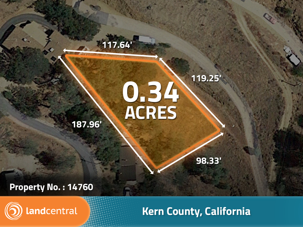
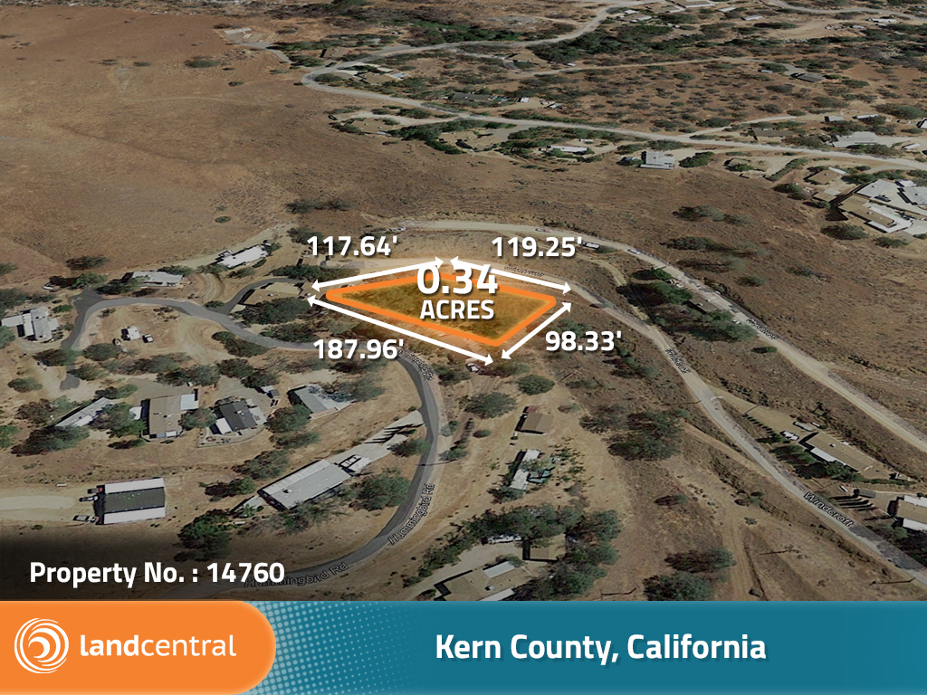
0.34 acres | Residential Zoning
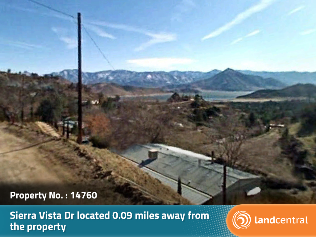
Right where the Kern River meets Isabella Lake this quaint town is a dreamy little spot to put down some roots. The outdoor recreation is abundant, from white water rafting to floating peacefully or hiking and fishing, there is a bit of everything. Isabella Lake is a perfect place to spend a summer day full of boating, water sports, and swimming. When the weather cools there are mountain ranges in every direction making for multiple places to ski or snowboard and enjoy all the winter sports as well. This is a very well rounded area and this is your chance to make it your very own.
Land Specifics Foreclosed
| Property Number | 14760 |
|---|---|
| Size | 0.34 acres |
| Dimensions | 117.64' x 119.25' x 98.33' x 187.96' |
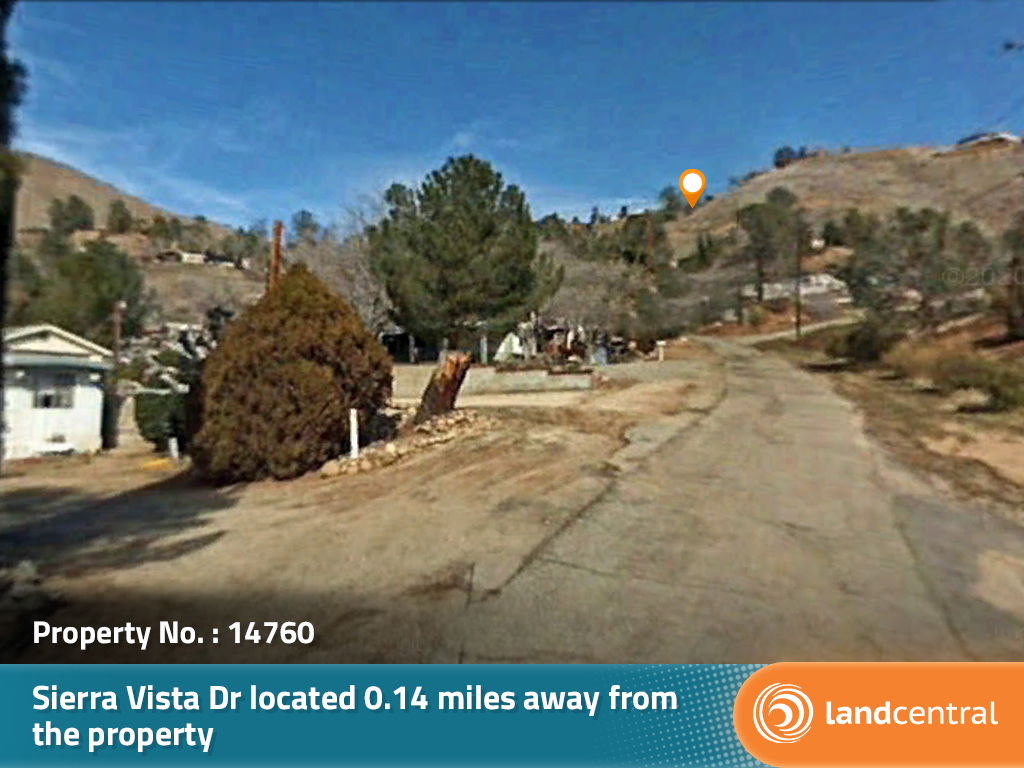
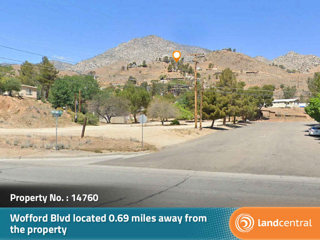
| Road Access | Paved Road |
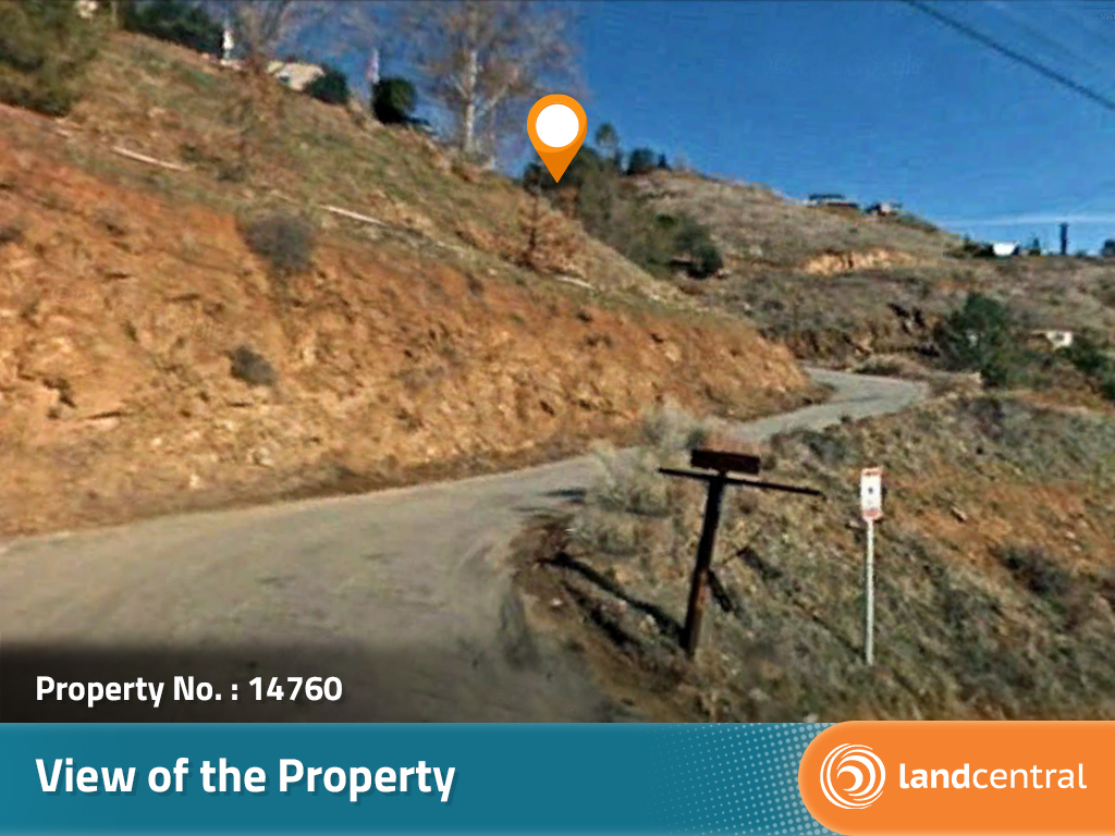
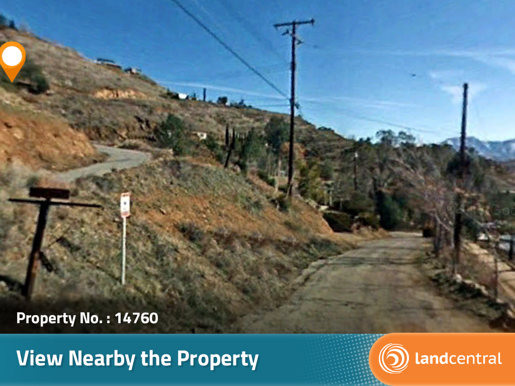
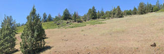
| Slope Description | Sloped |
| Zoning | Residential |
| Zoning Code | PL (Platted Land) |
| Zoning Definition |
PL (Platted Land): Single-Family dwellings permitted. Manufactured home, mobilehome, or recreational vehicle, temporary, during construction of a single-family home. Agricultural uses such as breeding, growing crops and community gardens is permitted. Property setbacks: Front 55 feet, Side 5 feet, Rear 5 feet. Height Limits: Buildings shall not exceed three (3) stories or thirty-five (35) feet. Detached accessory structures shall not exceed two (2) stories or thirty-five (35) feet. |
| On Property Usage/Potential |
|
| Nearby Usage |
|
Location
| County | Kern |
|---|---|
| State | California |
| Other Maps |
|---|
Additional Information
| Assessor Parcel Number (APN) | 083 301 30 00 6 |
|---|---|
| Estimated Annual Taxes | $178.60 |
| Legal Description |
A PORTION OF LOT 29 OF RECORD SURVEY 2466, IN THE UNINCORPORATED AREA OF THE COUNTY OF KERN, STATE OF CALIFORNIA, AS PER MAP FILED SEPTEMBER 13, 1961 IN BOOK 8, PAGE 127 OF RECORDS OF SURVEY, IN THE OFFICE OF THE COUNTY RECORDED OF SAID COUNTY, DESCRIBED AS FOLLOWS: BEGINNING AT A POING IN THE WESTERLY BOUNDARY OF LOT 29, LYING 85.00 FEET SOUTH 32 DEG 35' 02" OF THE MOST WESTERLY CORNER OF SAID PARCEL; THENCE SOUTH 32 DEG 25' 02" EAST ALONG SAID WESTERLY BOUNDARY, 187.96 FEET TO A CORNER; THENCE NORTH 64 DEG 26' 24" EAST, 98.33 FEET; THENCE NORTH 38 DEG 41' 50" WEST, 119.25 FEET; THENCE NORTH 76 DEG 45' 51" WEST, 117.64 FEET TO THE POINT OF BEGINNING. SUBJECT TO ANY MINERAL RESERVATIONS OF RECORD. |
| Monthly HOA Dues | $0 |
| HOA | |
| HOA Dues | $0 |
| HOA Info |
This property has been sold.
This property is no longer available.
Use My LandCentral to be notified when a similar property is available in the future.
Or search available properties now:
Search Properties
