$19,997.41
3.4 acres | Residential Zoning
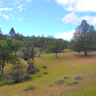
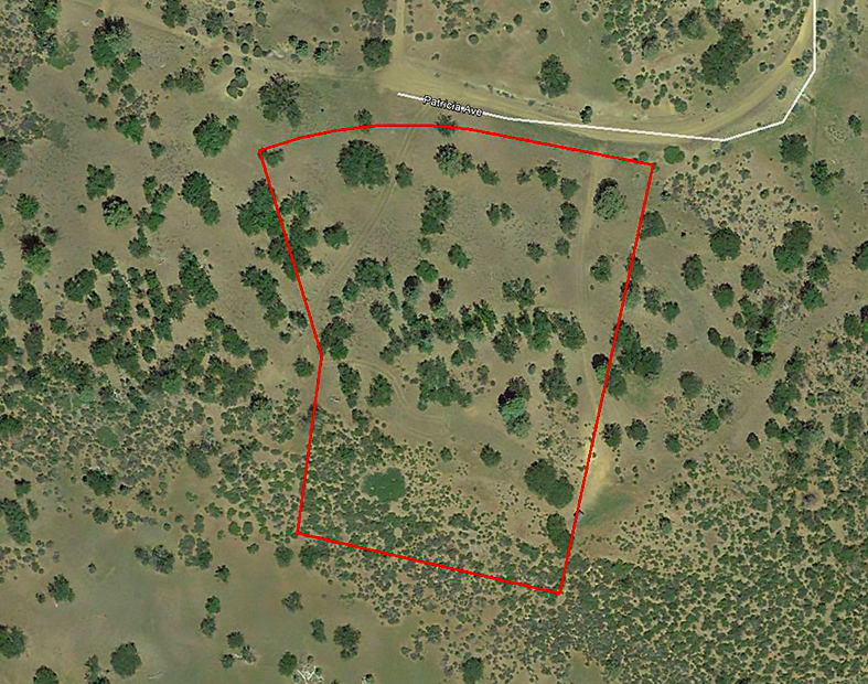
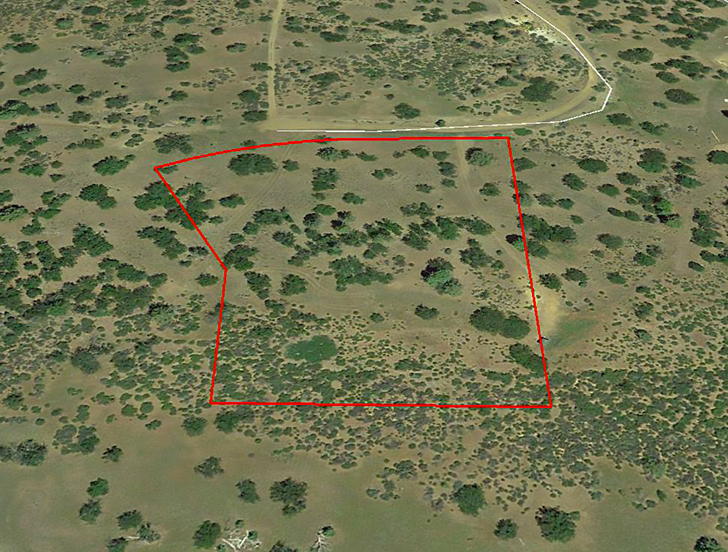
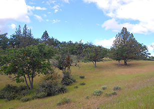
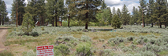
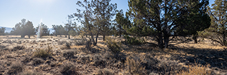
This private and secluded property offers you nearly 3 ½ acres of land just south of Patricia Ave. The land slopes up gently to the middle of the property, then there is a steeper upward slope to the top of a hill, where the land is flat again. There is a lot of open terrain and scattered trees covering the property. This is a beautiful area with plenty of opportunities for relaxing and enjoying the outdoors. All of the surrounding land is vacant, although there are scattered homes nearby.
Land Specifics Foreclosed
| Property Number | 8995 |
|---|---|
| Size | 3.4 acres |
| Dimensions | 450' x 325' x 429' x 459' |
| Road Access | Dirt Road |
| Slope Description | Rolling |
| Zoning | Residential |
| Zoning Code | RR (Rural Residential/Agricultural) |
| Zoning Definition |
RR (Rural Residential/Agricultural): Single-Family dwellings unit with accessory structures pertinent to that type of zoning permitted. One mobile-home per building site in lieu of a single-family dwelling. Some minimal agricultural uses allowed but limited to personal uses mostly ie. horses, cows, goats, chickens, etc up to 6.; orchard, small crops. No commercial uses permitted. Min site area with community sewer/water: 7,200 sq. ft. (0.16 acre). Min site area with septic tank: 1 Acre. Maximum building height 35 ft. Maximum lot coverage 40%. Property Setbacks: Front 20 ft, Side 5 ft, Rear 20 ft. |
| On Property Usage/Potential |
|
| Nearby Usage |
|
Location
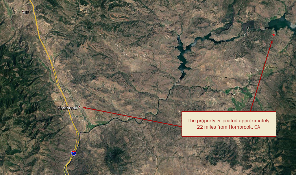
| County | Siskiyou |
|---|---|
| State | California |
| Other Maps |
|---|
Additional Information
| Assessor Parcel Number (APN) | 004 050 180 000 AND 004 050 330 000 |
|---|---|
| Estimated Annual Taxes | $388.04 |
| Legal Description |
All that real property in the State of California, County of Siskiyou, unincorporated area, described as follows: A portion of the Northeast ¼ of the Northeast ¼ of Section 32, Township 48 North, Range 4 West, Mount Diablo Meridian. Commencing at the Northeast Corner of said Section 32; thence South 16 deg. 59’10” East, 552.68 feet; thence South 16 deg. 40’21” East 65.66 feet; thence along a curve to the right, concave Northwesterly having a radius of 170.00 feet; thru a central angle of 111 deg. 00’03” an arc length of 329.35 feet to a point of the Easterly line of Section 32, said point also being a point on the Northerly right of way line of Patricia Avenue (private road, 60.00 feet wide) said point also being the True Point of Beginning of this description; thence leaving said section line along said Northerly line North 85 deg. 40’18” West, 141.91 feet; thence along a curve to the left concave Southerly having a radius of 530.00 feet; thru a central angle of 37 deg. 01’54”, an arc length of 342.55 feet; thence leaving said Northerly right of way line, radially to said curve south 32 deg. 42’12” East 231.53 feet; thence South 3 deg. 35’52” East 200.00 feet; thence North 89 deg. 47’15” East 332.41 feet to a point in the Easterly line of said Section 32; thence along said Easterly line North 0 deg. 16’14” West 465.00 feet to the True Point of Beginning. |
| Monthly HOA Dues | $0 |
| HOA | |
| HOA Dues | $0 |
| HOA Info |
This property has been sold.
This property is no longer available.
Use My LandCentral to be notified when a similar property is available in the future.
Or search available properties now:
Search Properties
