$38,469.99
18.99 acres | Agricultural Zoning
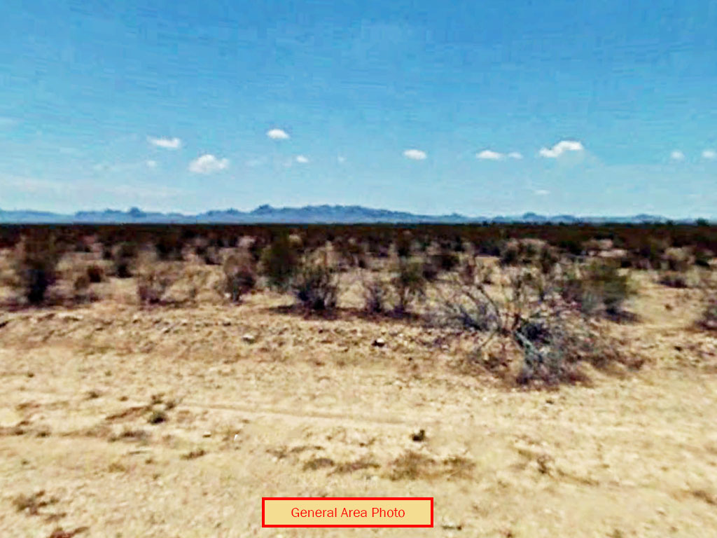
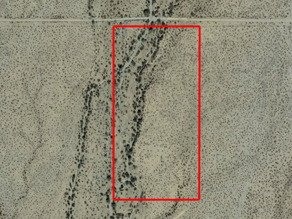
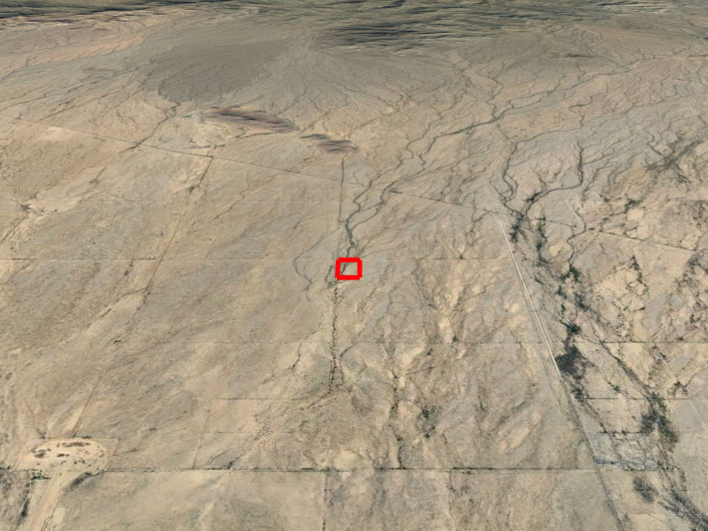
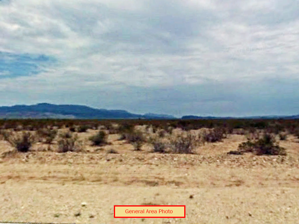
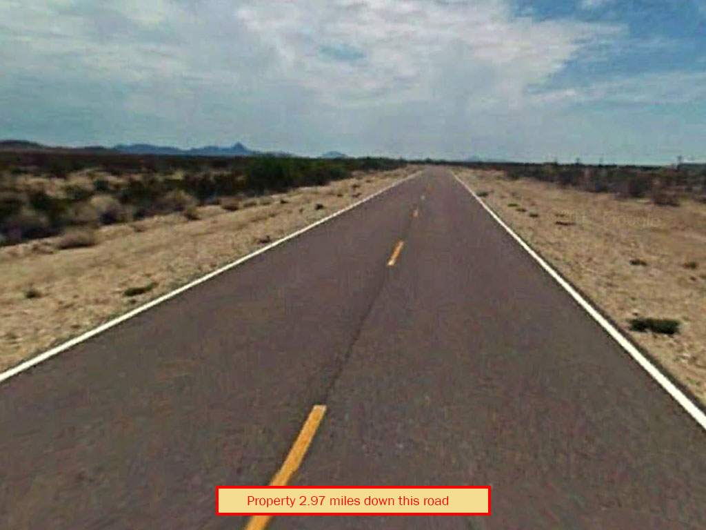
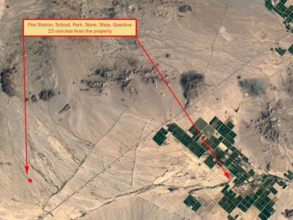
Off grid living at its finest! This stunning 18.75-acre parcel is a rare 3 lots in 1. Located in the middle of the Arizona desert, there is a nice dirt road leading in and no neighbors for miles. Utilities are yet to be available, making off-grid living as easy as you need it. The nearest town amenities are 23 miles away. Wake up to the desert sunrise with the sweet land deal!
Land Specifics Foreclosed
| Property Number | 13023 |
|---|---|
| Size | 18.99 acres |
| Dimensions | 640.48' x 1286.49' |
| Road Access | Dirt Road |
| Slope Description | Mostly Flat |
| Zoning | Agricultural |
| Zoning Code | RA-5 (Rural Agricultural) |
| Zoning Definition |
RA-5 (Rural Agricultural): The RA, Rural Agricultural Zoning Districts are intended to apply to rural areas, on large parcels, for permanent dwellings with agricultural uses and to support agricultural and open space uses. Two (2) residential single family dwellings, including site built homes, park models and manufactured homes, with a building or placement permit and provided all applicable development standards can be met, including those related to wastewater and wastewater disposal. Two (2) Recreational Vehicles per lot occupied by the property owner/renter, provided the vehicles remain licensed and operative and provided all applicable development standards can be met, including those related to wastewater and wastewater disposal. Agricultural Uses: Commercial agriculture and two (2) animal units per acre with the exception of horses. There shall be no limit on the number of horses allowed. Building set-back requirements for accessory structures shall be consistent with current zoning set-backs. |
| On Property Usage/Potential |
|
| Nearby Usage |
|
Location
| County | La Paz |
|---|---|
| State | Arizona |
| Other Maps |
|---|
Additional Information
| Assessor Parcel Number (APN) | 303 14 027A, 303 14 027B and 303 14 027C |
|---|---|
| Estimated Annual Taxes | $464.28 |
| Legal Description |
That part of land situated in the NW ¼ of the NW ¼ of Section 11, Township 3 North, Range 11 West, Gila & Salt River Meridian, La Paz County, Arizona, being a portion of that parcel of land described in Record No. 2006-04276 (R1), which is shown as APN 303-14-027 on Results of Survey Record No. 2005-05121 (R2), both Official Records of La Paz County, Arizona, and being more particularly described as follows: LOT 1 - Commencing for reference at a 2" pipe at the Northwest comer of said Section 11; Thence S0°04'09"W along the West line of said NW¼, NW¼ of Section 11 a distance of 33.00 feet to a½" rebar with orange plastic cap marked "Tierra RLS 31598" at the NW comer of said (Rt), said rebar also being the POINT OF BEGINNING. Thence S89°59'32"E along the North line of said (R1) a distance of 642.74 feet to ½" rebar with orange plastic cap marked "Tierra RLS 31598"; Thence S0°03'10'W 429.05 feet to a½" rebar with orange plastic cap marked "Tierra RLS 31598"; Thence N89°59'50'W 642.86 feet to a ½ rebar with orange plastic cap marked "Tierra RLS 31598" on the West line of said (Rt) (West line of said NW¼, NW 1/4, Section 11); Thence N0°04'09"E along the West line of said (R1),(West line of said NW ¼, NW ¼, Section 11); a distance of 429.11 feet to the POINT OF BEGINNING. Reserving the Westerly 33.00 feet and the Easterly 16.50 feet thereof as easements for ingress, egress and public utilities. Containing 6.33 acres, more or less. AND LOT 2 - Commencing for reference at a 2" pipe at the Northwest comer of said Section 11; Thence S0°04'09''W along the West line of said NW¼, NW¼ of Section 11 a distance of 33.00 feet to a½" rebar with orange plastic cap marked "Tierra RLS 31598" at the NW comer of said (R.1). Thence S89°59'32"E along the North line of said (Rt) a distance of 642.74 feet to a½" rebar with orange plastic cap marked "Tierra RLS 31598"; Thence S0°03'10"W 429.05 feet to a½" rebar with orange plastic cap marked "Tierra RLS 31598" at the POINT OF BEGINNING; Thence continuing S0°03'10"W 429.05 feet to a½" rebar with orange plastic cap marked "Tierra RLS 31598"; Thence S89°59'52"W 642.86 feet to a½" rebar with orange plastic cap marked "Tierra RLS 31598" on the West line of said (R.1) CWest line of said NW¼, NW 1/4, Section 11); Thence N0°04'09"E along the West line of said (R.1),CWest line of said NW¼, NW¼, Section 11); a distance of 429.11 feet to a½" rebar with orange plastic cap marked "Tierra RLS 31598"; Thence S89°59'50"E 642.86 feet to the POINT OF BEGINNING. Reserving the Westerly 33.00 feet of the Northerly 247.53 feet of the Easterly 16.50 feet thereof as easements for ingress, egress and public utilities. Containing 6.33 acres, more or less. AND LOT 3 - Commencing for reference at a 2" pipe at the Northwest comer of said Section 11; Thence S0°04'09"W along the West line of said NW ¼, NW ¼ of Section 11 a distance of 33.00 feet to a ½" rebar with orange plastic cap marked "Tierra RLS 31598" at the NW comer of said (R.1). Thence S89°59'32"E along the North line of said (R.1) a distance of 642.74 feet to a½" rebar with orange plastic cap marked "Tierra RLS 31598"; Thence S0°03'10"W 858.10 feet to a½" rebar with orange plastic cap marked "Tierra RLS 31598" at the POINT OF BEGINNING; Thence continuing S0°03'10"W 429.05 feet to a ½" rebar with orange plastic cap marked "Tierra RLS 31598"on the South line of said (R.1); Thence S89°59'34"W, S89°59'35"W (R2) along the South line of said (RI) a distan~e of 643.11 feet to a½" rebar with green plastic cap marked "RLS 33861" at the Southwest corner of said (Rl) (on the West line of said NW¼, NW¼, Section 11); Thence N0°04'09"E along the West line of said (Rl), (West line of said NW ¼ , NW ¼, Section 11) a distance of 429.11 feet to a ½" rebar with orange plastic cap marked "Tierra RLS 31598";Thence N89°59' 52"E 642.98 feet to the POINT OF BEGINNING. Reserving the Westerly 33.00 feet thereof as easements for ingress and public utilities. Containing 6.33 acres, more or less. |
| Monthly HOA Dues | $0 |
| HOA | |
| HOA Dues | $0 |
| HOA Info |
This property has been sold.
This property is no longer available.
Use My LandCentral to be notified when a similar property is available in the future.
Or search available properties now:
Search Properties
