$2,497.00
0.97 acres | Residential Zoning
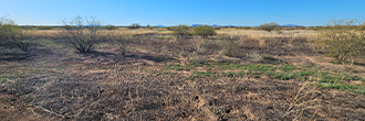
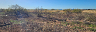
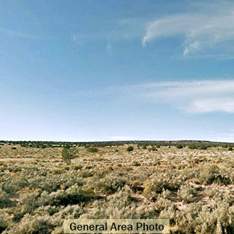
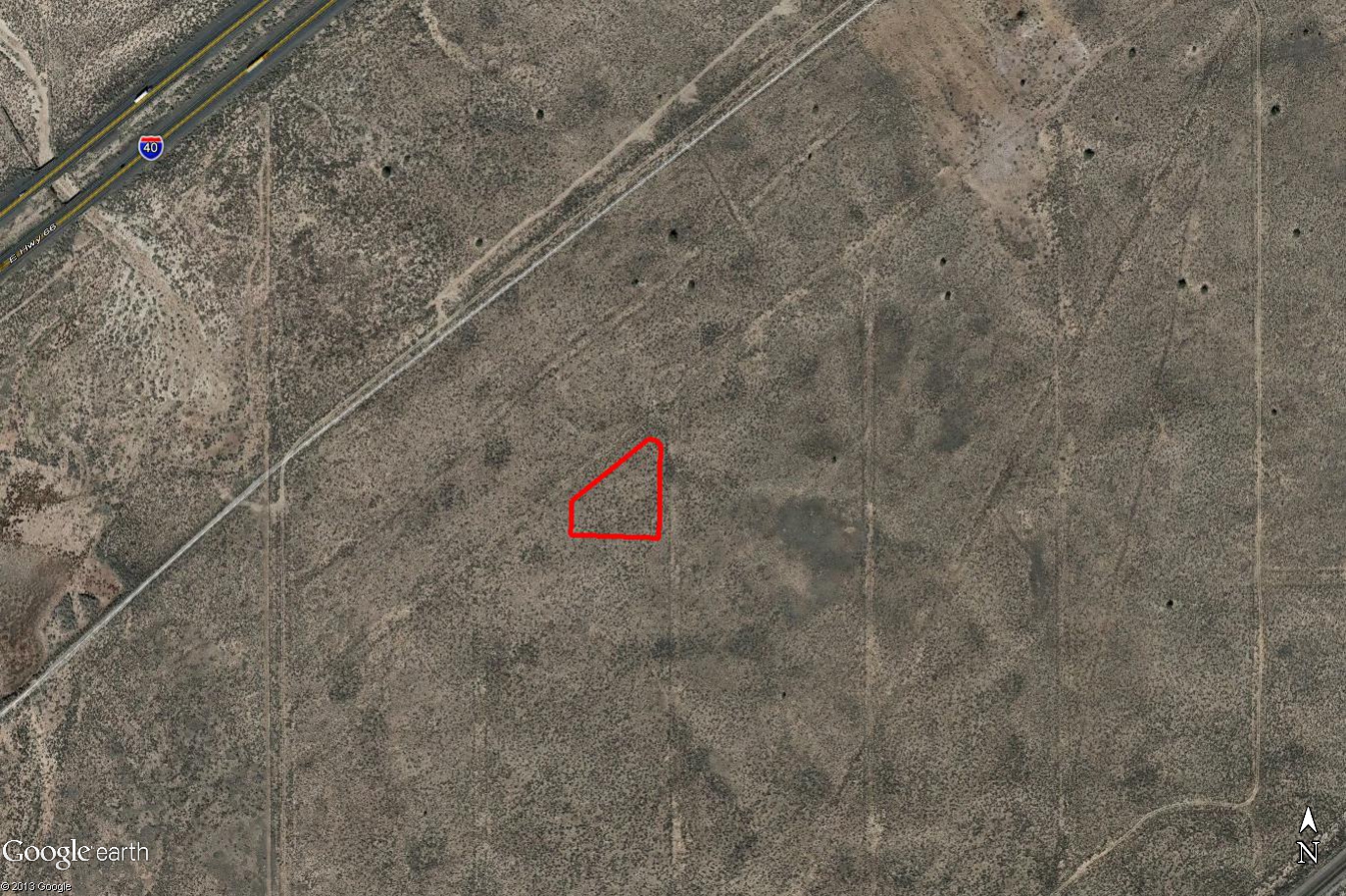
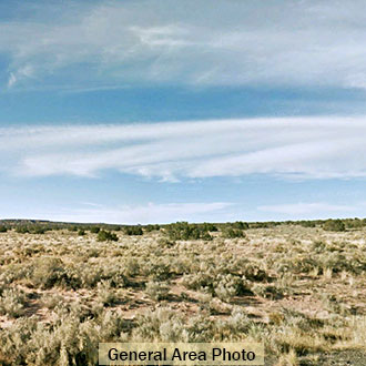
This triangular property is located on the corner of two dirt roads at 5718 feet elevation. It is about half a mile from I-40 also known as historic Route 66 and there are power lines along the Highway. The beautiful Petrified Forest and Painted Desert are close by. You are only 45 minutes from Holbrook and about 3 hours from Albuquerque, New Mexico.
Land Specifics
| Property Number | 8127 |
|---|---|
| Size | 0.97 acres |
| Dimensions | 80' x 306' x 235' x 290' |
| Road Access | Dirt Road |
| Slope Description | Mostly Flat |
| Zoning | Residential |
| Zoning Code | A-G (Agricultural General) |
| Zoning Definition |
A-G (Agricultural General): One single-family dwelling or one modular/mobile home allowed. Accessory buildings, soil crops, general agriculture, commercial, and forestry uses are allowed. Building height is limited to two stories or 35’. |
| On Property Usage/Potential |
|
| Nearby Usage |
|
Location
| County | Apache |
|---|---|
| State | Arizona |
| Other Maps |
|---|
Additional Information
| Assessor Parcel Number (APN) | 210 24 178 |
|---|---|
| Estimated Annual Taxes | $9.50 |
| Legal Description |
BELL BRAND RANCHES UNIT 66, LOT 178, APACHE COUNTY, ARIZONA. |
| Monthly HOA Dues | $0 |
| HOA | |
| HOA Dues | $0 |
| HOA Info |
This property has been sold.
This property is no longer available.
Use My LandCentral to be notified when a similar property is available in the future.
Or search available properties now:
Search Properties