$9,228.71
0.94 acres | Agricultural Zoning
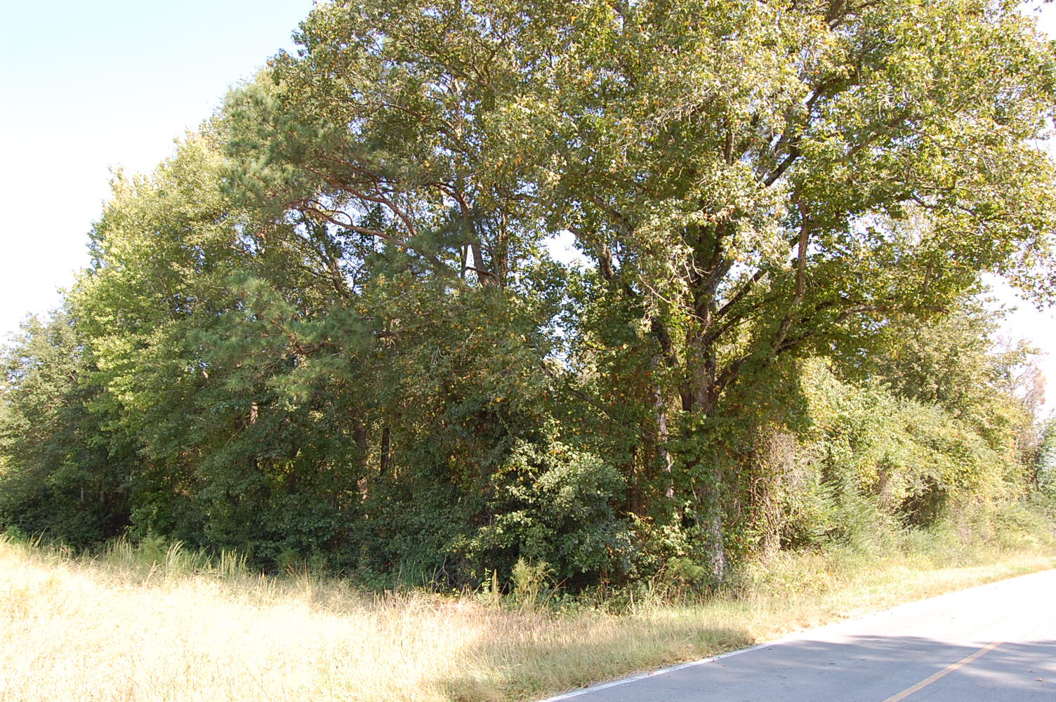
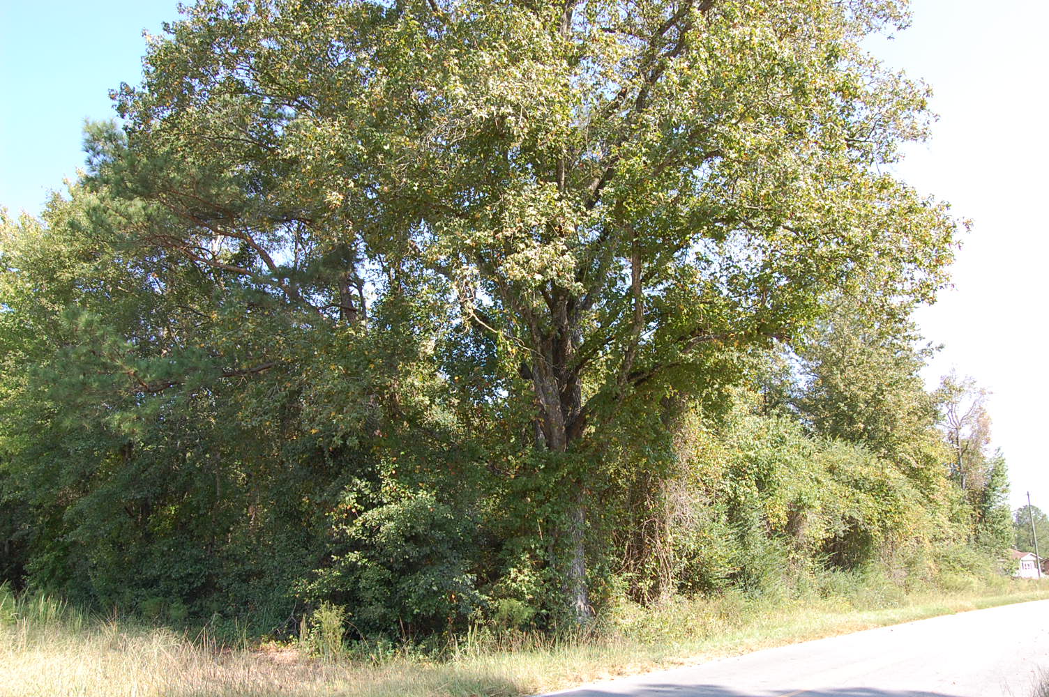
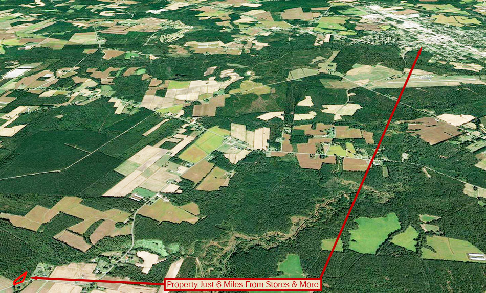
ORIGINAL PRICE: $17,500! Friendly communities and great outdoor living await in Pender County! At almost an acre, this 40,946 sq. ft. parcel is ready for your dream home. The area enjoys four seasons with plenty of things to do annually. Coast down a scenic river or visit one of the various historic monuments. The towns of Wallace and Watha are just 5 miles away. Develop plans for your next home today!
Land Specifics Foreclosed
| Property Number | 10112 |
|---|---|
| Size | 0.94 acres |
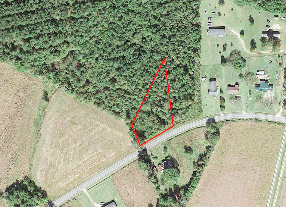
| Dimensions | 291' x 166' x 95' x 317' |
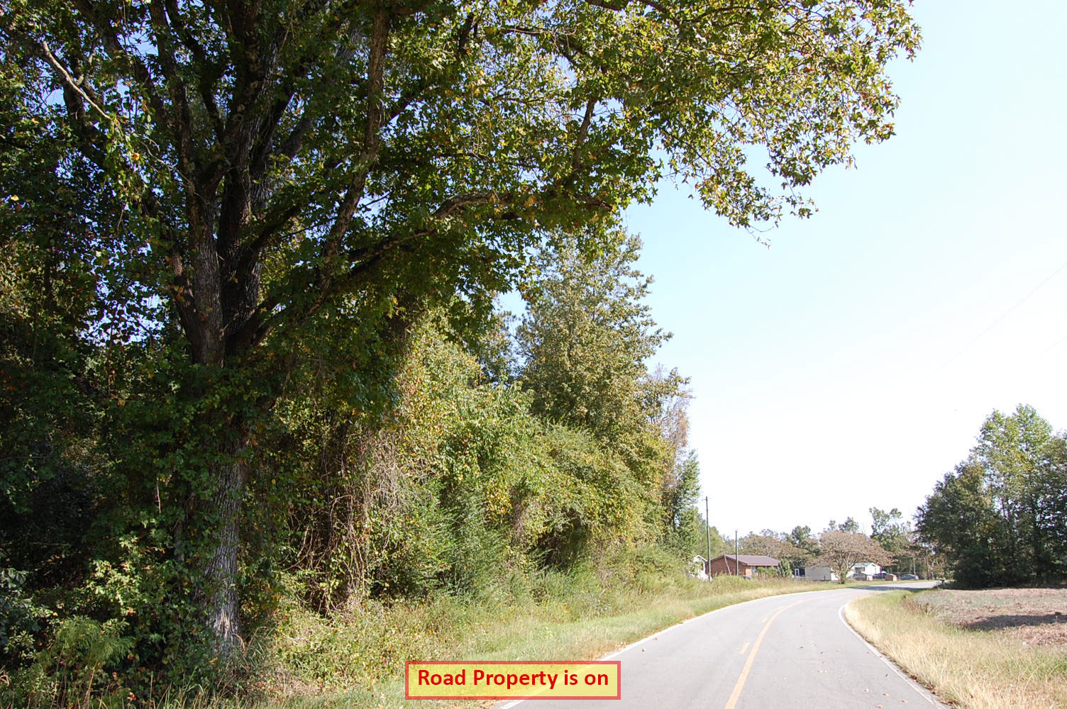
| Road Access | Paved Road |
| Slope Description | Mostly Flat |
| Zoning | Agricultural |
| Zoning Code | RA - Rural Agricultural |
| Zoning Definition |
RA (Residential): Single-Family dwellings permitted including detached conventional homes, manufactured homes and detached duplex (lot size 60,000 sq ft). Maximum building height 35 feet. Minimum lot size: 1 acre. County permit required for exceptions to size restrictions. Property Setbacks: Front 30 feet, Side 15 feet, Corner: 15 feet, Rear 30 feet. |
| On Property Usage/Potential |
|
| Nearby Usage |
|
Location
| County | Pender |
|---|---|
| State | North Carolina |
| Other Maps |
|---|
Additional Information
| Assessor Parcel Number (APN) | 2384 62 4035 0000 |
|---|---|
| Estimated Annual Taxes | $119.97 |
| Legal Description |
Legal Description: Located in Union Township, Pender County, State of North Carolina, and being described by BEGINNING at an existing P.K. nail that is located in the center of the pavement of N.C. Secondary Road No. 1300 and in line with the center of a ditch that is located on the north side of said road, which said existing P. K. nail beginning corner is located at the most easterly corner of that land conveyed to Linda Faye Dill and Fredde Dill, Jr., by deed recorded in Book 758, on Page 756, Pender County Register of Deeds office, and from said existing P.K. nail beginning corner so located running thence as follows: 1. To and with the ditch that is located on a line of the Dill land, N14°38'00"W 126.71 feet to an existing iron stake that is located at a corner of the Dill land; 2. Thence, leaving the ditch and running with an old line of the tract of land of which this land is a part N34°18’ 39"E 338.05 feet to an iron stake (set); 3. Thence, leaving said old line and running S01° 57’ 49"W 72.42 feet to an iron stake (set) that is located N88°47'51"W 30.00 feet from an existing iron stake that is located at the old northwest corner of land conveyed to Shirley A. Young by deed recorded in Book 855, on Page 239, Pender County Register of Deeds office; 4. Thence, parallel with the most westerly line of the Young land and 30.00 feet westward from said line as measured at right angles from said line S01° 57'49” W 231.40 feet to an iron stake (set); 5. Thence, the same course continued S01°57'49 W 40.75 feet to a P.K. nail (set) in the center of the pavement of N. C. Secondary Road No. 1300; 6. Thence, with the center of the pavement of N. C. Secondary Road No. 1300, as it curves, points on which are located by the following calls: S72°14'02"W 34.61 feet, S70°23'51"W 43.11 feet, and S66°06'05” W 80.03 feet to the POINT OF BEGINNING, containing 0.94 acre, more or less, as surveyed by William W. Blanchard, P.L.S. No. L-0619, during July 2003, with all lines shown correct in their angular relations and relative to April 1990 Magnetic Meridian. |
| Monthly HOA Dues | $0 |
| HOA | |
| HOA Dues | $0 |
| HOA Info |
This property has been sold.
This property is no longer available.
Use My LandCentral to be notified when a similar property is available in the future.
Or search available properties now:
Search Properties